
Nagano · Alpine Japan · Area Guide
Every 100 metres you climb, the air cools by roughly 0.6°C. Nagano has built half its appeal on that one line of physics: while Tokyo’s August afternoons average 31.3°C, Karuizawa — one Shinkansen hour away — averages 26.3°C, and the cirque at the top of the Komagatake Ropeway holds around 20°C at the height of summer. This guide climbs through seven escapes in altitude order, from Karuizawa’s larch shade at about 1,000 m to Senjojiki’s glacial bowl at 2,612 m — plus one bus ride that climbs higher still — with the buses, ropeways and car-ban rules that actually get you up there, and the weeks when each one turns gold in autumn.
The physics
−0.6°C / 100 m
Karuizawa in August: 26.3°C days, 17.1°C nights (JMA normals)
Rail gateways
4 stations
Karuizawa (Shinkansen) · Matsumoto · Chino · Komagane
Best months
Jun–Oct
July flowers up high · late Sep–Oct colour · most alpine roads shut in winter
Pack
A real layer
Above 2,000 m even August tops out near 20°C — bring a jacket
The altitude ladder — how high each escape takes you
Bars are drawn to each altitude shown, scaled to Tatamidaira’s 2,702 m; elevations from each area’s official tourism body. The chapters below climb in order of each area’s base elevation — Norikura’s bus simply tops out above everything else. Rough rule: the summer day runs 6–11°C cooler than Tokyo depending on the rung.
Karuizawa — the one-hour escape
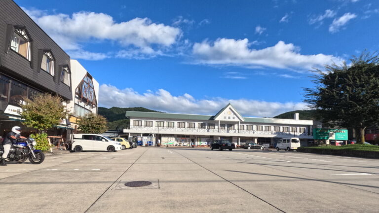
Karuizawa is the gentlest rung and the easiest sell: the Hokuriku Shinkansen covers the 146.8 km from Tokyo Station in about 60–75 minutes (around ¥6,130 one way with a reserved seat; unreserved cars knock ¥530 off), and you step out into a resort town the municipality itself describes as spread across the 900–1,000 m zone on the southeast slope of Mt Asama. The numbers behind the cool-air reputation are real: August afternoons average 26.3°C against Tokyo’s 31.3°C, and nights drop to 17.1°C — a bigger gap after dark than at lunch.
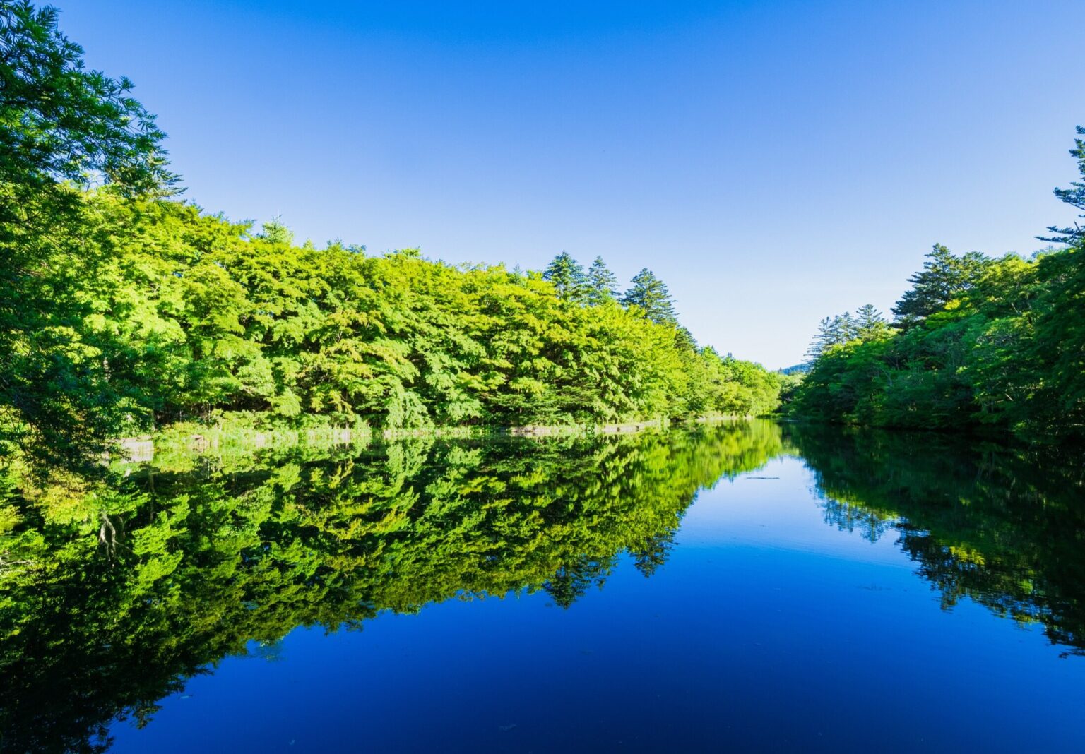
The signature half-day out is Shiraito Falls — not a plunging cascade but a 3 m-high, 70 m-wide curtain of spring water seeping straight out of the rock face. The Kusakaru Kotsu bus from the station’s north exit takes 25 minutes (¥720, 18 departures a day on the timetable revised in April 2026); drivers use the Shiraito Highland Way toll road instead. There is no entrance fee at the falls themselves. Karuizawa also works as the cool-day-trip template in our Tokyo escape round-up, and it anchors one of the routes in the summer drives guide.
Tateshina & Shirakabako — painters’ ponds and a lava garden
The Tateshina plateau is the gateway zone of the Venus Line, and its best-known sight is a piece of farm infrastructure: Mishaka Pond, an early-Showa irrigation reservoir built to warm the cold Yatsugatake meltwater before it reached the rice paddies below. On a windless morning the larch forest doubles perfectly in the surface — the scene behind Higashiyama Kaii’s celebrated painting Green Echoes. Practical notes the postcard leaves out: parking holds about 30 cars, the embankment is off-limits so you view from the roadside, and there is no convenience store for roughly 10 km — come supplied.
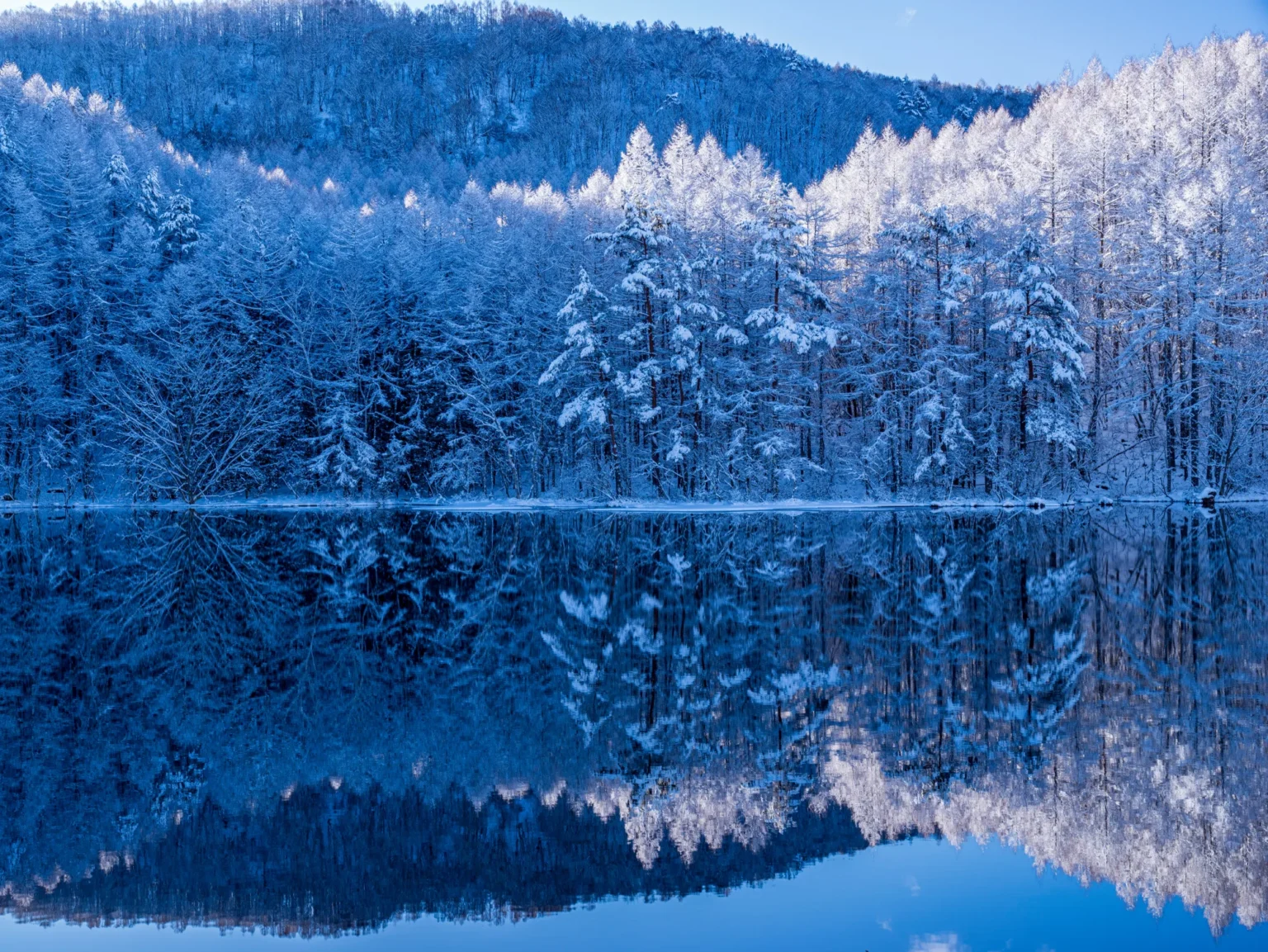
For altitude without effort, the Kita-Yatsugatake Ropeway lifts you from 1,771 m to 2,237 m in about seven minutes (¥2,600 round trip). At the top, the Tsuboniwa lava garden — a bowl of rock from the Yatsugatake range’s last eruption — has a 30–40 minute boardwalk-and-gravel loop through alpine flowers that peak late June to early July. Down the road, Lake Shirakaba (surface at 1,416 m, a man-made reservoir with a 3.8–4 km shoreline) does boats and lakeside walks, and Tateshina’s onsen cluster ranges from gentle simple springs to a pH 2.9 acid source; the 1926-founded riverside inn Shinyu, with its 30,000-book lounge, is the area’s classic literary stay.
Kamikochi — the car-free valley
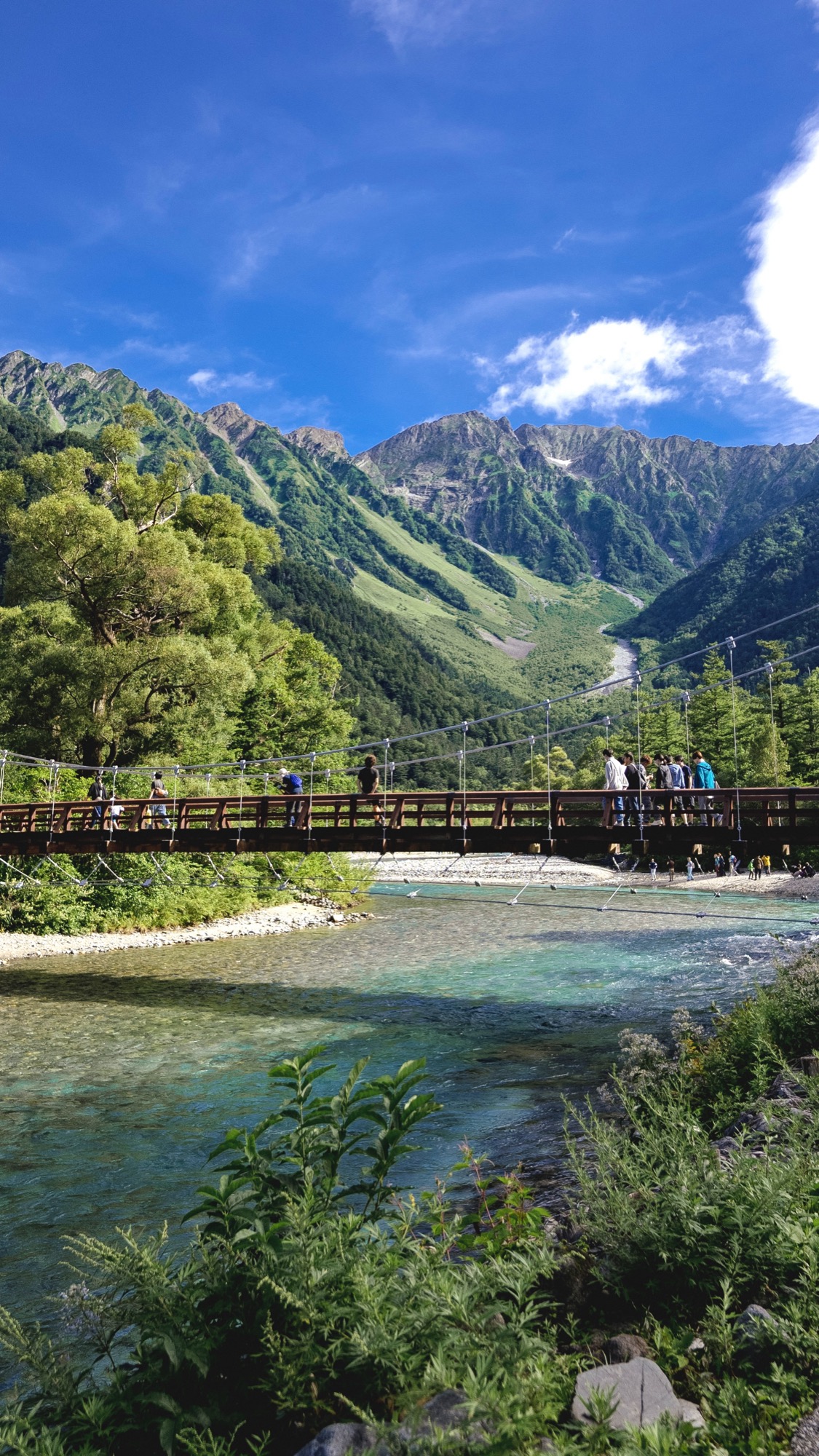
Kamikochi needs little introduction — a level river valley at about 1,500 m under the Hotaka range, closed to private cars entirely, open April 17 to November 15 in 2026. It is also the one place in this guide where we can hand you a full set of deep dives instead of a summary: start with when to go, then how to get in (Matsumoto side: train to Shin-Shimashima ¥710 cash only, then bus ¥3,100 — one-way tickets only), day trip or overnight, and where to sleep.
Norikura — milky onsen below, Japan’s highest bus stop above
Norikura Kogen is two escapes stacked on top of each other. The village level, around 1,500 m, is an onsen plateau: the flagship spring is milky, sulphurous Norikura-kogen Onsen piped down from the mountainside (soak in it at the Yukemurikan day-bath), with two clearer sources alongside. Between soaks you walk to Zengoro Falls — a 22 m curtain that freezes solid in winter, one of the area’s “three famous falls” — and Ushidome Pond, whose gazebo frames Mt Norikura doubled in the water.
The upper escape is Tatamidaira, the 2,702 m bus terminal on the Norikura massif that both operators bill as Japan’s highest bus stop. Private cars are banned on both approach roads; from the Nagano side, Alpico’s shuttle runs July 1 to October 31, 2026 (adult ¥2,450 one way including the ¥200 conservation fee, about 55 minutes, first bus up at 7:00) and — unusually for a mountain bus — it can be reserved online in English at resort-busline.com. The Gifu-side shuttle from Honoki-daira runs May 15 to October 31 (¥1,800 / ¥3,400 return). Colour starts near the top in mid-to-late September, peaks around Kuraigahara in early October — the slope our September foliage guide flags — then walks down through the plateau in mid-October and finishes with larch gold into early November.
Kirigamine — daylilies, boardwalk bogs and 298 days of fog
Kirigamine is what Nagano looks like with the trees removed: roughly 3,000 hectares of open grassland above 1,500 m, topped by Kurumayama at 1,925 m. The prefecture’s Nature Conservation Center puts August’s average daily maximum at just 24.0°C — and records fog here on 298 days a year, which is how the place got its name (kiri means fog) and why the meteorological agency parked its Nagano weather radar in a white dome on the summit. The same open, windy terrain made aviation history too: the official tourism site calls Kirigamine the birthplace of Japanese gliding.
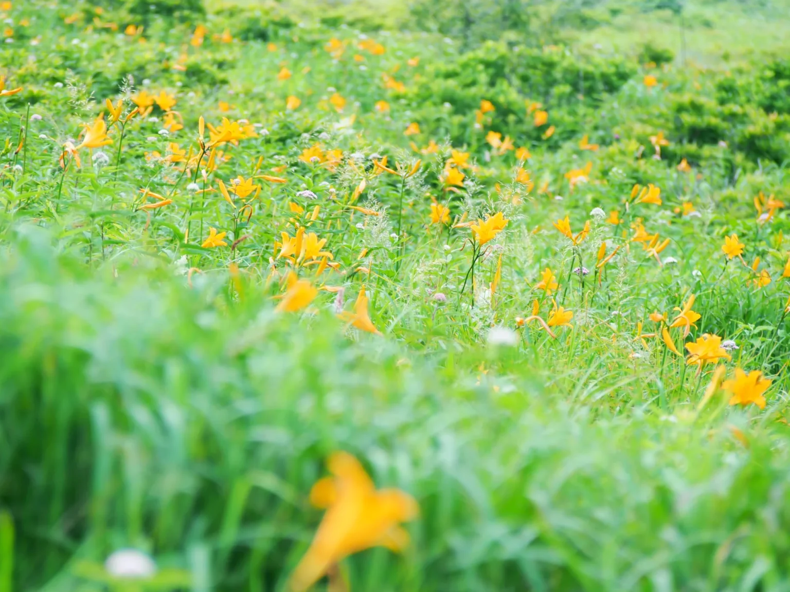
Two easy targets: ride the two-stage SKYPARK lift from Kurumayama-kogen to the 1,925 m summit (about 25 minutes up, ¥2,800 round trip, running April 24–November 3 in 2026), or walk the boardwalk loop of Yashimagahara — a raised bog designated a National Natural Monument, circuited in anywhere from 20 minutes to a leisurely hour and a half. Alpico’s seasonal bus from Kami-Suwa Station serves both (May 2–October 25, 2026, weekends and holidays plus daily through August; Kirigamine ~34 min/¥1,700, Kurumayama-kogen ~68 min/¥2,300). The Suwa basin the buses climb out of holds the four shrines of Suwa Taisha — an easy pairing before or after the ridge.
06 · ~2,000 mUtsukushigahara — a pasture in the sky
Utsukushigahara is a flat plateau at 2,000 m where dairy cows graze against a 360-degree horizon; the high point, Ogato at 2,034 m, looks across — the plateau’s hoteliers like to say — at forty of Japan’s hundred famous mountains, Fuji included. The walk is famously easy for the altitude: from the Yamamoto-goya road end past the Utsukushi-no-To — a six-metre stone refuge tower from 1954 whose fog bell once guided lost hikers — out to Ogato and the cliff-edge viewpoint of Ogahana, about 3–4 hours there and back on mostly flat farm track.
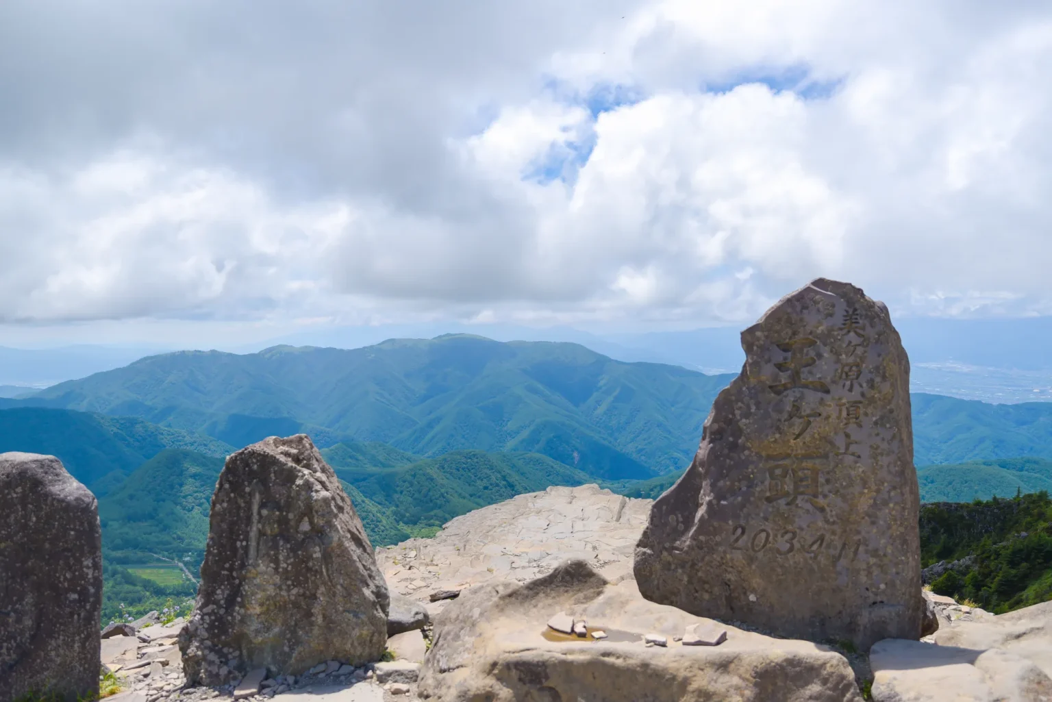
Two quirks to plan around. First, cars cannot cross the plateau top: the Venus Line side (Michi-no-Eki — billed as Japan’s highest roadside station — and the open-air sculpture museum, 350 works on 13 hectares, open April 25–November 3, 2026, ¥1,000) and the Matsumoto side (Nature Conservation Center) are linked only on foot — allow 90 minutes to two hours for the crossing — and a 2024 landslide means driving around between them takes 2.5 hours plus. Decide which side you want before you set off. Second, buses are seasonal and thin: a reserve-ahead direct bus from Matsumoto Station (¥1,500, weekends June 6–October 12 plus daily mid-July through August) and a no-reservation Ueda run on summer weekends — outside those windows it is a rental-car or lodge-shuttle plateau. The reward for staying: Ogato Hotel on the summit runs year-round with its own free shuttles, and sunrise above a sea of clouds without an alpine start.
Senjojiki Cirque — the glacial amphitheatre with a ropeway
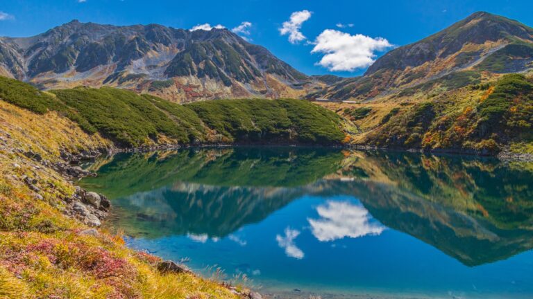
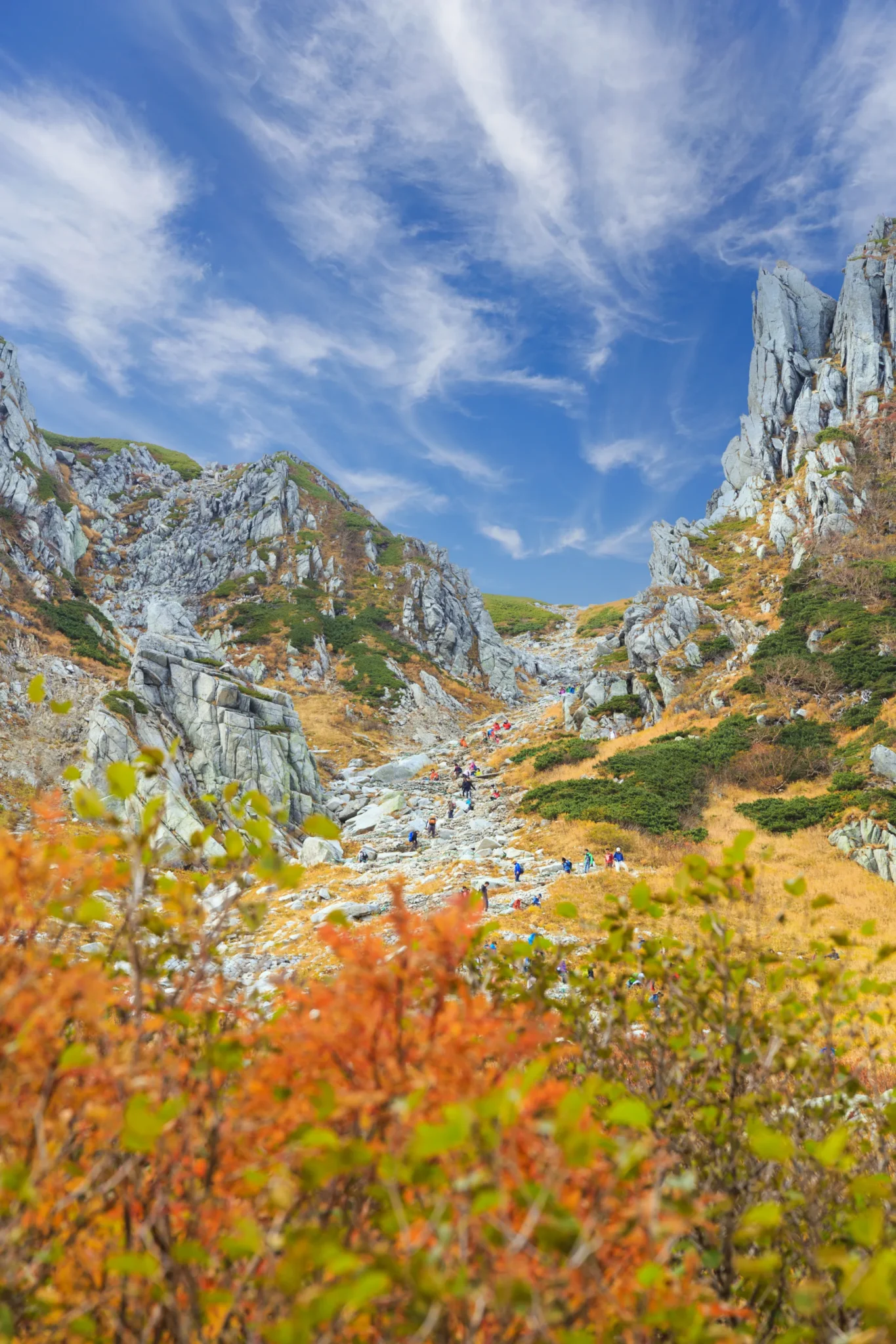
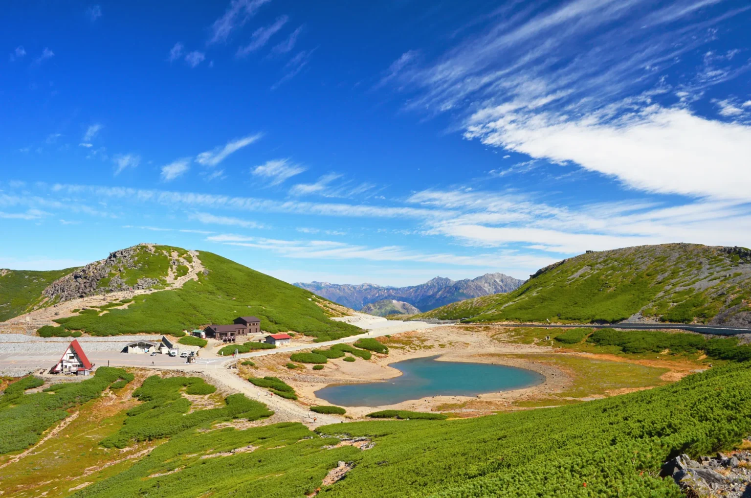
The last rung, and the highest station in the country. The Komagatake Ropeway rises 950 vertical metres — billed as the biggest lift of any ropeway in Japan — to Senjojiki Station at 2,612 m, officially described as Japan’s highest station of any kind, in about seven and a half minutes. It opened in 1967 as Japan’s first alpine ropeway, and it delivers you into a textbook glacial cirque carved roughly 20,000 years ago. The official line on summer temperatures says it plainly: even in July and August, daytime highs sit around 20°C — bring long sleeves and a shell.
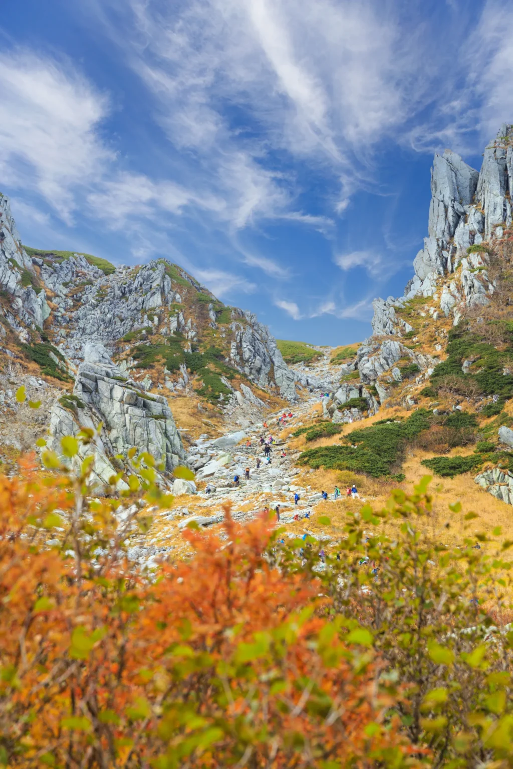
The logistics are simple because they are compulsory: cars stop at Suganodai Bus Center (about 300 spaces, ¥800/day; roughly 3 hours’ drive from the Tokyo side, 2 from Nagoya), and everyone rides the connecting bus 30 minutes up to the ropeway base (¥830 one way). Fares are date-based: round trips from ¥2,290, valid three days. Up top, the Kengaike Pond loop through the cirque takes about 45 minutes on a maintained path — in the snow-free months, grippy ordinary shoes are enough — while the Kiso-Komagatake summit is a four-hour round trip for properly shod hikers; the loop is snowbound December through June. No car at all? The Shinjuku–Komagane highway bus runs about hourly (3 h 38 m–3 h 58 m, from ¥4,200 web fare) and is bookable in English — the route is even named “(Komagatake Ropeway)” on the booking site. On weekends and holidays from 26 September through 12 October 2026 the first ropeway leaves at 6:00, with the first bus up at 5:15 — and the queues justify the alarm clock. Weekdays until 16 October and the weekend of 17–18 October start an hour later (bus 6:15, ropeway 7:00), and from 19 October to 8 November the first bus is 7:15 and the first ropeway 8:00. Sleeping at 2,612 m is possible too: Hotel Senjojiki adjoins the station year-round, with stargazing plans built around that 2,612 m sky.
When each rung is at its best
| Area | Summer cool | The show | Autumn colour (typical) | Watch out |
|---|---|---|---|---|
| Karuizawa | 26.3°C Aug days | Shiraito Falls, pond strolls, shops | Later than the plateaus — mid-autumn | Summer weekend crowds |
| Tateshina / Shirakabako | Lake at 1,416 m | Mishaka Pond mirror mornings; Tsuboniwa flowers Jun–Jul | Tsuboniwa late Sep; larches mid–late Oct | Ropeway closed Nov 24–Dec 18, 2026 |
| Kamikochi | ~1,500 m valley | Kappa-bashi, riverside walks | Early to late October (official window) | Open Apr 17–Nov 15 only; road can close briefly |
| Norikura | Onsen at 1,500 m, 2,702 m by bus | Milky sulphur baths; Tatamidaira sky-walks | Top mid–late Sep → Kuraigahara early Oct → larch to early Nov | Race-day road closure late Aug; shuttle Jul 1–Oct 31 |
| Kirigamine | 24.0°C Aug highs | Nikkokisuge daylilies, peak mid-July | Grassland golds through October | Buses weekends-only outside August |
| Utsukushigahara | 2,000 m plateau | Summit-to-summit pasture walk | Grass and larch turn ahead of the valleys | Two unconnected road approaches; thin buses |
| Senjojiki | ~20°C Aug highs | Cirque loop above the clouds | Late Sep–early Oct; first snow ~mid-Oct | Date-based fares; first ropeway 6:00 (bus 5:15) on peak days |
If autumn is the goal, this ladder is also a scheduling tool: Senjojiki and Tsuboniwa turn first, the 1,500 m valleys follow through October, and the towns finish last — the same downhill sequence our October guide and live koyo tracker map for the whole country, with the October highland picks covering the Nagano spots that peak that month.
Do you need a car?
Honest answer: it depends which rung. Karuizawa, Kamikochi and Senjojiki are genuinely easy without one — Shinkansen, dedicated buses with English booking, and a compulsory bus-and-ropeway chain respectively. Kirigamine and Tateshina run on seasonal buses that thin out outside summer weekends, and Utsukushigahara is bus-poor in both directions. The counterintuitive part: even with a car, the three highest escapes make you park and ride — Kamikochi and both Norikura roads ban private cars outright, and Senjojiki stops you at Suganodai. Where a car genuinely earns its keep is the Venus Line — 75.2 km of toll-free mountain road linking Tateshina, Shirakabako, Kirigamine and Utsukushigahara in one high-altitude sweep (closed in winter; it reopened April 21 in 2026). If that drive is the plan, compare rental cars out of Matsumoto or Chino; for rail-and-bus trips, Trip.com handles the JR legs and most hotels in one place. (Some links in this guide — car hire, Trip.com, Rakuten Travel and Booking.com — are affiliate links; they cost you nothing extra.)
Where to sleep up there
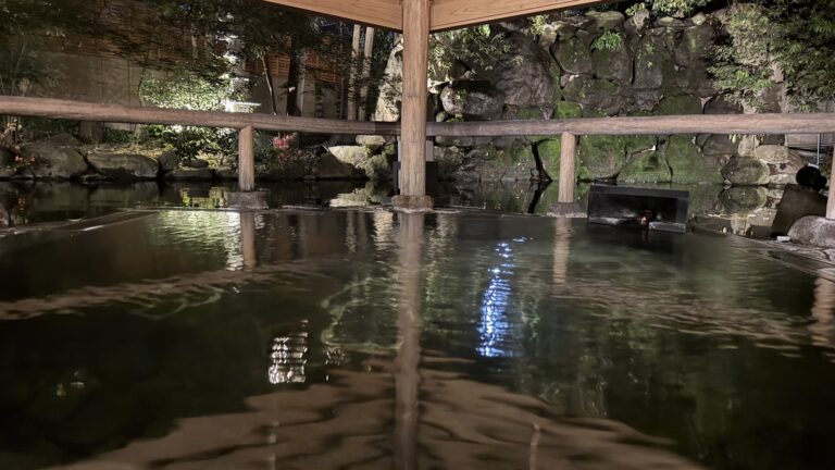
Three very different beds define the range. At the top, Hotel Senjojiki (2,612 m, year-round, English site toggle) sells starfields and sunrise from beside the ropeway station. In the middle, Ogato Hotel puts you on Utsukushigahara’s 2,034 m summit with shuttle access and cloud-sea mornings — Japanese-language booking, as noted above. At valley level, Norikura’s and Tateshina’s onsen inns are the comfortable base-camp option — milky sulphur water at Norikura, literary river baths at Shinyu — and this is where Rakuten Travel earns its place, with the deepest ryokan inventory in these valleys; Booking.com covers Karuizawa’s resort hotels and most of the rest. For how a ryokan night actually works — meals, baths, the etiquette — see the ryokan guide and the onsen primer.
FAQ
Which Nagano highland is coolest in summer?
The higher you go, the cooler: Senjojiki Cirque (2,612 m) tops out around 20°C even in July and August by the operator’s own description, and Kirigamine’s August daily maximums average 24.0°C per the prefectural Nature Conservation Center. Karuizawa is the mildest “escape” at 26.3°C average August highs — still five degrees under Tokyo.
Can I do any of these as a day trip from Tokyo?
Karuizawa easily — about an hour by Shinkansen. Senjojiki works as a long day (roughly 3 h 40 m each way by highway bus to Komagane plus the bus-and-ropeway chain); on peak autumn dates the 6:00 first ropeway makes an early start pay. Kamikochi is possible but better overnight — our comparison runs the numbers. The Venus Line plateaus really want a night in Matsumoto, Chino or on the mountain.
Do I need a car for the Venus Line?
Effectively yes for the full drive — it is 75.2 km of toll-free road and the connecting buses are seasonal and sparse. Individual points along it (Kirigamine, Yashimagahara, Kurumayama-kogen, Shirakabako) can be reached by Alpico’s summer buses from Kami-Suwa or Chino, which run weekends and holidays plus daily through August.
When do the Nagano highlands show autumn colour?
In altitude order, downhill: Senjojiki and Tsuboniwa typically turn late September to early October, Norikura’s Kuraigahara peaks in early October, the 1,500 m valleys follow through October — Kamikochi’s official window is early-to-late October, while Norikura Kogen and Mishaka’s larches lean mid-to-late, and the towns finish last. First snow often dusts Senjojiki by mid-October — sometimes landing the three-tier view of snow over colour over green.
Are these places open in winter?
Mostly no, or only partially. Kamikochi closes November 15. The Norikura shuttles end October 31. The Venus Line’s high sections shut from roughly late November to late April, and the Kita-Yatsugatake Ropeway pauses November 24–December 18, 2026 for maintenance. The exceptions: Karuizawa runs year-round (ski season included), the Senjojiki ropeway operates in winter on a reduced timetable for snow scenery, and the Utsukushigahara summit lodges stay open with 4WD-only access rules.
Can foreign visitors book the mountain transport in English?
More than you might expect: JR East’s site sells the Shinkansen and Azusa seats in English, Highwaybus.com covers the Shinjuku buses to Kamikochi, highway-buses.jp lists the Komagane (Komagatake Ropeway) route, and Alpico’s resort-busline.com takes English reservations for the Norikura Tatamidaira shuttle. The gaps are local: Venus Line-area buses and the Utsukushigahara lodges are Japanese-only channels.
Pick your rung by the thermometer — or by the calendar.
In August, altitude is air conditioning. From late September, the same ladder becomes a foliage schedule that starts more than a month before Kyoto’s. Either way, Matsumoto makes the natural base camp — castle included.
Kamikochi, season by season Matsumoto Castle guide Zenkoji, Nagano CityJoin travelers discovering Japan's hidden side
Weekly dispatches from off-the-beaten-path Japan — spots and stories you won't find in guidebooks.
No spam. Unsubscribe anytime.
Welcome aboard!
You're in. See you in your inbox soon.