Tokyo & Around · The Hub

Kanto — Japan’s busiest region, told from the quieter edges.

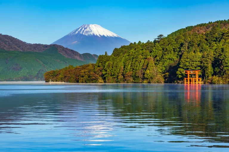
Mt. Fuji just beyond the western edge, Kamakura on the Pacific, Nikko in the mountains, Tokyo itself in between.

Kanto covers Tokyo and the six surrounding prefectures (Kanagawa, Saitama, Chiba, Ibaraki, Tochigi, Gunma). Roughly a third of Japan’s population lives here. We mostly cover the edges — Hakone, Nikko, Kamakura, the Mt. Fuji approach — rather than central Tokyo’s already-saturated content.

When to visit

October–December for clearest Mt. Fuji visibility. Late March for cherry blossom along the Meguro River. June for hydrangeas at Hasedera in Kamakura. February for plum blossoms at Mito.

How to get there

Haneda Airport (HND) is the closest international airport; Narita (NRT) takes 60-90 min into central Tokyo. JR Pass covers Shinkansen access; Suica/Pasmo for trains and metros.

All Kanto articles

Nikko Autumn Leaves 2026: When Each Area Turns, Irohazaka Traffic and a Day Route

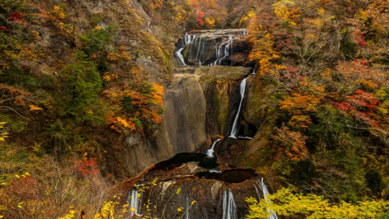
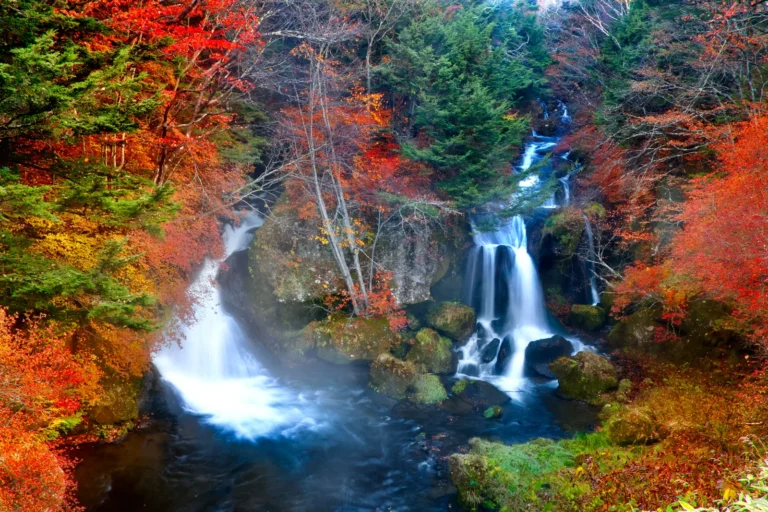
Ryuzu Falls in Oku-Nikko in autumn, white water splitting around a mossy rock between red, orange and yellow trees

Nikko's main sightseeing route climbs from about 543 m to about 1,500 m, so the colour starts at the top in September and reaches the shrines in November. Expected peak windows by area (early to mid-October around Yumoto, early to mid-November around the shrines), the Nikko Tourism Association's dated status updates, Tochigi's 2026 Irohazaka traffic measures, and a traffic-aware day-trip example.