Northern Alps · Trail News
From 18 July to 11 August 2026, Nagano Prefecture is running “awareness gates” at two of the busiest trailheads in the Northern Alps — Yokoo, the gateway from Kamikochi to Karasawa and Mt. Yari, and the Tsugaike Nature Park trailhead toward Mt. Shirouma. Hikers passing these points are asked to hand in a preparation-and-rules checklist covering their climbing plan, gear, fitness, insurance and start time. It’s a trial, not a law — but after three straight record years of mountain accidents in Nagano, it’s a clear sign of where one of Japan’s busiest mountain prefectures is heading. Here’s what the gate asks, who it applies to, and the kit that covers everything on the checklist.
First: does this affect your Kamikochi trip at all?
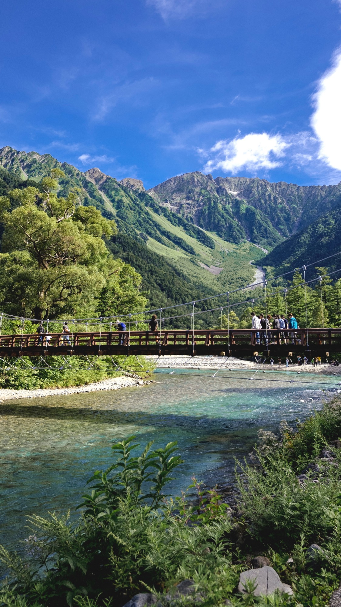
For most visitors, no. The famous valley-floor walk — Kappa Bridge, Myojin Pond, the riverside path to Tokusawa and even as far as the Yokoo campground — is not gated. You can stroll it this summer exactly as before — though the full walk out to Tokusawa or Yokoo is a long day that still deserves proper shoes and rain protection; my Kamikochi walking guide covers that side.
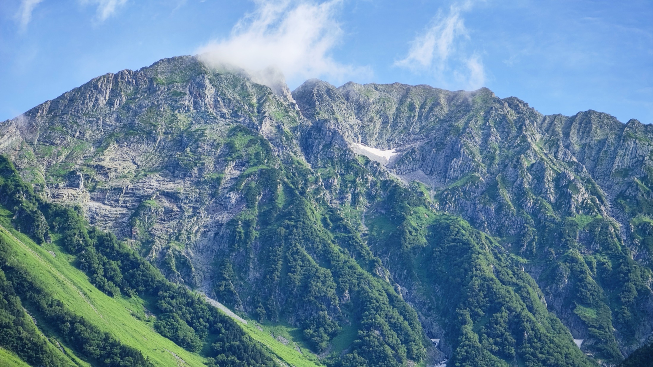
The checkpoint sits at Yokoo, where day-walkers turn around and climbers continue on: across the bridge toward Karasawa Cirque and the Hotaka peaks, or straight up the Yarisawa valley toward Mt. Yari. Pass that point with a pack, and you’re the person the gate wants to talk to. The second gate is at the Tsugaike Nature Park trailhead in Otari, where the boardwalk crowd peels off and the route continues up toward Hakuba Ōike and Mt. Shirouma.
In other words: the prefecture put its trial gates exactly where casual sightseeing starts blurring into real mountain terrain. If that line has ever tempted you — this checklist is written for you.
What the gate actually asks
The “climbing preparation & rules confirmation sheet” (登山準備・ルール確認票) covers five things, per the prefecture’s announcement:
1 · Climbing plan filed?
Nagano’s safety ordinance already designates these areas as requiring a tozan-todoke (climbing plan). File it free online via the Compass system (mt-compass.com — an English interface is available, but allow extra time for the flow) before you travel.
2 · Essential gear carried?
Rain gear, warm layers, food and a map are the named items. The full pass-the-gate kit is below.
3 · Fitness & condition
An honest self-assessment — the routes beyond both gates are sustained climbs at altitude, not extensions of the boardwalk.
4 · Mountain insurance
Helicopter rescue in Japan can be billed to you. Short-term hiking insurance is standard for Japanese climbers; visitors should check their travel insurance explicitly covers mountaineering above trail-walking level.
5 · A sane start time
The part people underestimate — see the table. Late starts are the classic accident recipe, and the gate now asks about them directly.
The start-time guidance (this is the part that catches people)
| Gate | Heading to | Guidance |
|---|---|---|
| Yokoo | Mt. Jōnen area | Start by around 6:00 |
| Yokoo | Mt. Yari / Oku-Hotaka / Kita-Hotaka | Start by around 10:00 |
| Yokoo | Final entry times | Chōgatake ~11:00 · Karasawa ~14:00 · Yarisawa ~15:00 |
| Tsugaike | Huts / destinations above | Plan to arrive by around 15:00 |
None of this is radical — it’s what hut owners have begged people to do for decades. What’s new is that someone at the trailhead now asks. If your bus schedule lands you at Yokoo at noon with a Yari itinerary, expect a polite conversation and possibly a request to change plans — the prefecture says under-prepared hikers “may be asked to refrain from entering.”
The kit that covers the checklist
This is the named-items list plus what years of walking these valleys tells me actually gets used. For a hut-based overnight — the normal way to do Karasawa, Yari or Hotaka — it all fits a 25–30L daypack, no tent needed. One honest caveat: carrying the right gear doesn’t guarantee a wave-through; staff can still suggest a change of plan if your route, timing or the weather looks wrong. Affiliate disclosure: as an Amazon Associate, Hidden Japan Gems earns from qualifying purchases — the links below are paid links to Amazon Japan, at no extra cost to you.
| Gate checklist item | What I’d carry | Get it |
|---|---|---|
| Rain gear (named) | Separate jacket + pants, not a poncho — wind on the ridges shreds ponchos | Rain jacket & pants set |
| Warm layers (named) | A thermal base layer even in August — mornings at Karasawa’s altitude are genuinely cold | Thermal innerwear |
| Early start | A headlamp makes the pre-dawn starts this guidance implies — leaving Yokoo by ~6:00 for Jōnen means walking in the dark — genuinely doable | Headlamp |
| Carrying it all | 25–30L daypack with a rain cover | Daypack |
| The descent | Trekking poles — the Yokoo–Karasawa moraine eats knees on the way down | Trekking poles |
| Feet | Proper hiking socks; blisters end more climbs here than weather does | Hiking socks |
| Phone = map + tozan-todoke | A power bank — your phone holds your offline map and backup light, but don’t assume you can call from beyond Yokoo; signal is patchy to nonexistent | Power bank |
Food and water: buy in Matsumoto or at the Kamikochi shops before you walk in — past Yokoo your options are hut menus and vending prices. A map: an offline map app (YAMAP or Yamareco) is what most climbers navigate with, but the checklist names “map” for a reason — carry the paper Yama-to-Kōgen sheet for the area as your no-battery backup.
Why Nagano is doing this now
Mountain accidents in Nagano have set a new record for three consecutive years. The prefecture’s mountain-safety office frames the gates as an experiment: 25 days, two trailheads, effect to be measured. My honest read, having watched the summer crowds at Kappa Bridge swell year after year: some version of this will be back, and probably wider. The direction across Japan’s busiest mountains — including the gate-and-fee system Mt. Fuji adopted — is toward trailheads that ask questions. Getting your kit and plan ready for any trailhead check costs you nothing and works on every mountain in Japan.
Planning around it
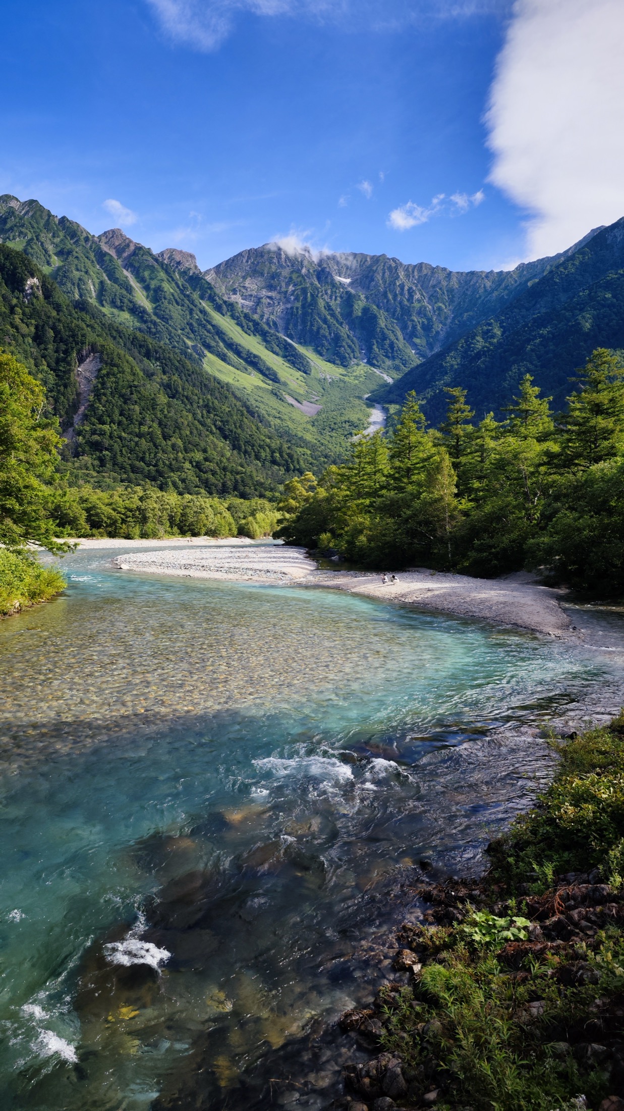
If the gates change anything for a visitor, it’s the timetable: the start-time guidance effectively means sleeping in or near the mountains the night before. Kamikochi-side, that’s a valley hotel or the Tokusawa/Yokoo camps — my where-to-stay guide compares them — and access logistics are in the Kamikochi access guide. Tsugaike-side, staying around Hakuba or Otari puts the gondola a short morning hop away. Day-tripping from Tokyo to climb past either gate was always a bad idea; now there’s a person at a table who’ll tell you so.
Nagano trailhead gates — FAQ
Do I need to pass a gate check to visit Kamikochi in 2026?
No. The valley walk — Kappa Bridge, Myojin, Tokusawa, up to Yokoo — is unaffected. The awareness gate applies only if you continue past Yokoo toward Karasawa, Hotaka or Mt. Yari between 18 July and 11 August 2026.
Is the gate check a legal requirement?
It’s a trial awareness measure, not a law with penalties. However, staff may ask clearly under-prepared hikers to refrain from entering, and Nagano’s existing safety ordinance already requires a climbing plan (tozan-todoke) for these designated areas.
How do I file a climbing plan for the Northern Alps?
The standard route is the free Compass system (mt-compass.com), which Nagano Prefecture accepts; it can be used in English. File before you travel — mobile signal at the trailheads is unreliable.
What gear does the Nagano gate checklist ask about?
The named essentials are rain gear, warm clothing, food and a map, alongside questions about your plan, fitness, insurance and start time. Separate rain jacket and pants, a warm layer, headlamp and enough food to reach your hut cover the core of it.
What are the start-time rules at Yokoo?
Guidance, not rules: start by around 6:00 for the Mt. Jōnen area and by around 10:00 for the Yari / Oku-Hotaka / Kita-Hotaka directions, with published final entry times of ~11:00 for Chōgatake, ~14:00 for Karasawa and ~15:00 for Yarisawa. From the Tsugaike gate, plan to reach your hut or destination by around 15:00. Arriving later invites a conversation about changing your plan.
Does travel insurance cover mountain rescue in Japan?
Often not by default — helicopter rescue can be billed to the climber. The gate checklist asks about mountain insurance, so check whether your travel policy explicitly covers hiking/mountaineering at your intended level, and consider a short-term mountain policy if not.
Join 1,000+ travelers discovering Japan's hidden side
Weekly dispatches from off-the-beaten-path Japan — spots and stories you won't find in guidebooks.
No spam. Unsubscribe anytime.
Welcome aboard!
You're in. See you in your inbox soon.