
Fuji Five Lakes · Hiking
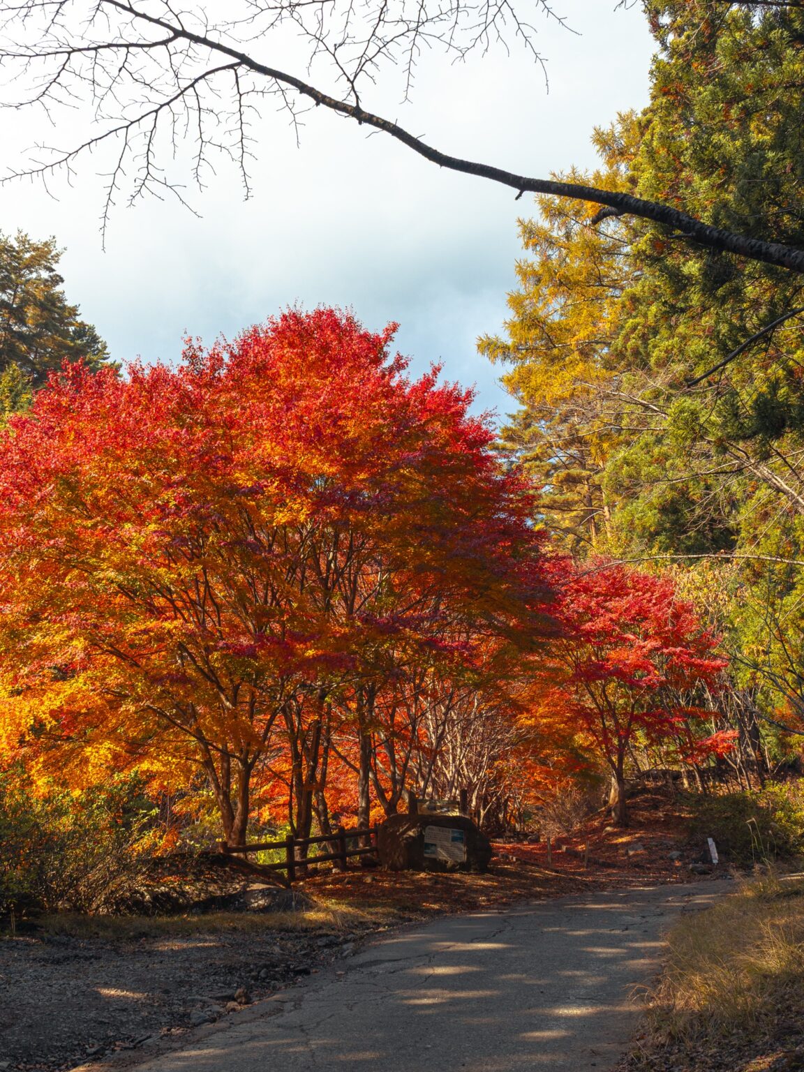
Mount Mitsutoge (1,785 m) is the classic Mt. Fuji viewing climb: a summit facing the mountain across the Kawaguchiko valley, with the shortest route fitting into half a day. In 2026 it carries one big caveat: the hiking section above Haha-no-Shirataki on the Kawaguchiko side has been closed since 29 June, after the 26 June earthquake, with no reopening date announced. This guide compares the main approaches, explains the published closure, and shows what the foot of the mountain looked like on 16 November 2025.
Three main approaches — and the closed one
Mitsutoge has three main approaches, and they suit different people. The times below are standard ascent times from the official hiking guidance; add your own margin.
| Route | Ascent | Character |
|---|---|---|
| Misaka side (Mitsutoge-tozanguchi) | ~1.5 h | Shortest; mainly a broad, unpaved mountain road |
| Nishikatsura / Darumaishi | ~2 h 35 + ~70-min walk-in | Historic approach; longer, with steep sections |
| North route (from the Takara mine side) | — | Experienced hikers; route-finding required |
The practical upshot: for the shortest climb, start from the Misaka side — that one can fit into half a day. For the traditional mountain-of-faith approach with a train station at the bottom, start from Nishikatsura, and give it a full hiking day: the walk from the station to Darumaishi takes about 70 minutes before the climbing starts. Mitsutoge is commonly described as three peaks — Kaiun-zan (1,785 m), Osutaka-yama (1,775 m) and Kinashi-yama (1,732 m) — with Kaiun-zan the highest.
Autumn at the foot: the Shinrei-no-taki walking path, dated
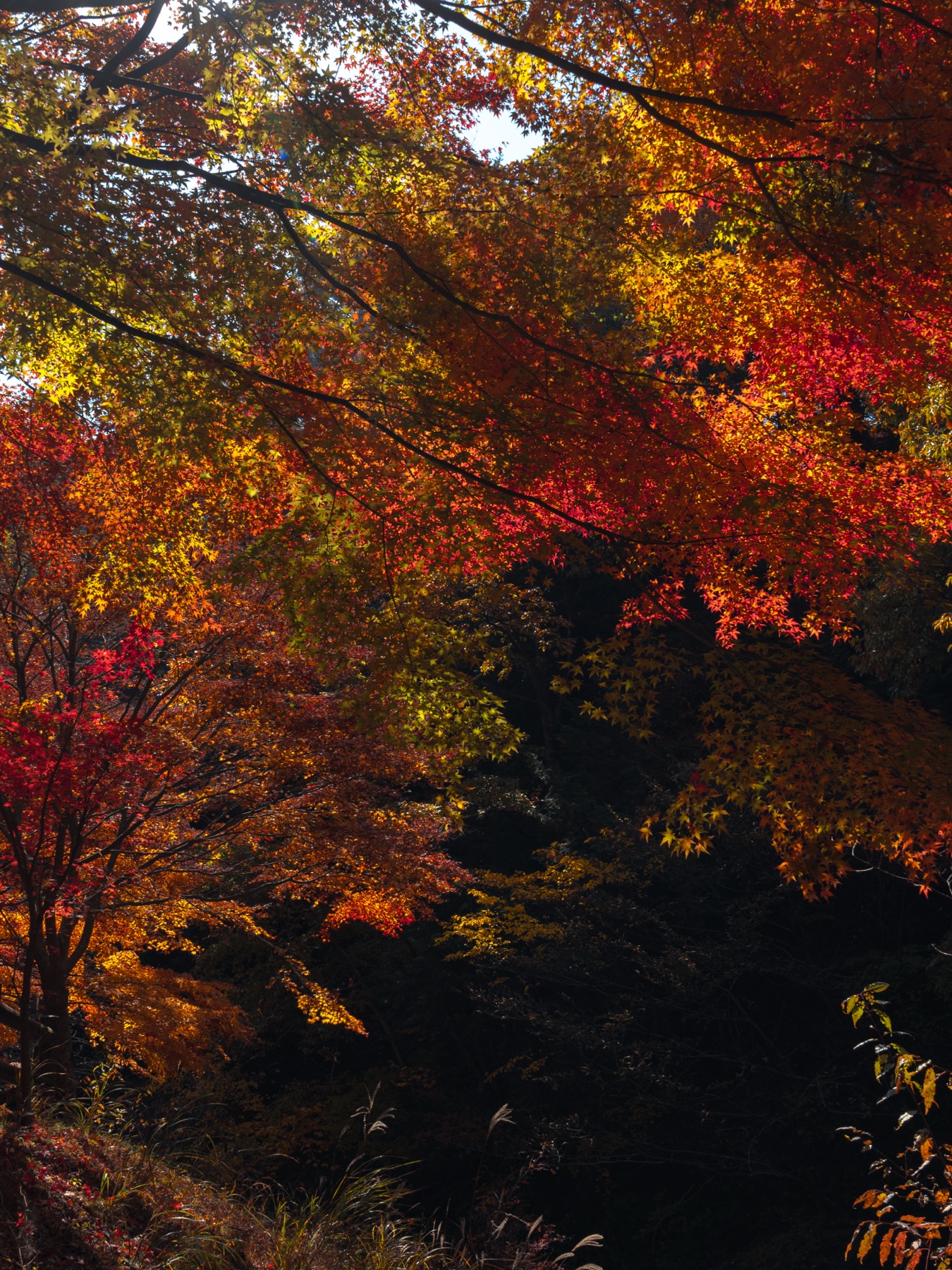
The colour on this mountain runs on two clocks. The town’s foliage guide puts the summit area in late October, and the lower forest — Ikoi-no-Mori and the Shinrei-no-taki walking path (神鈴の滁遊歩道, Shinrei) — in early-to-mid November.
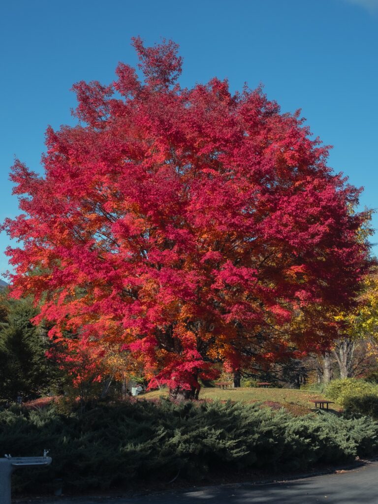
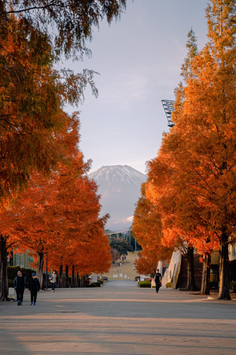
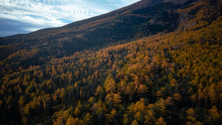
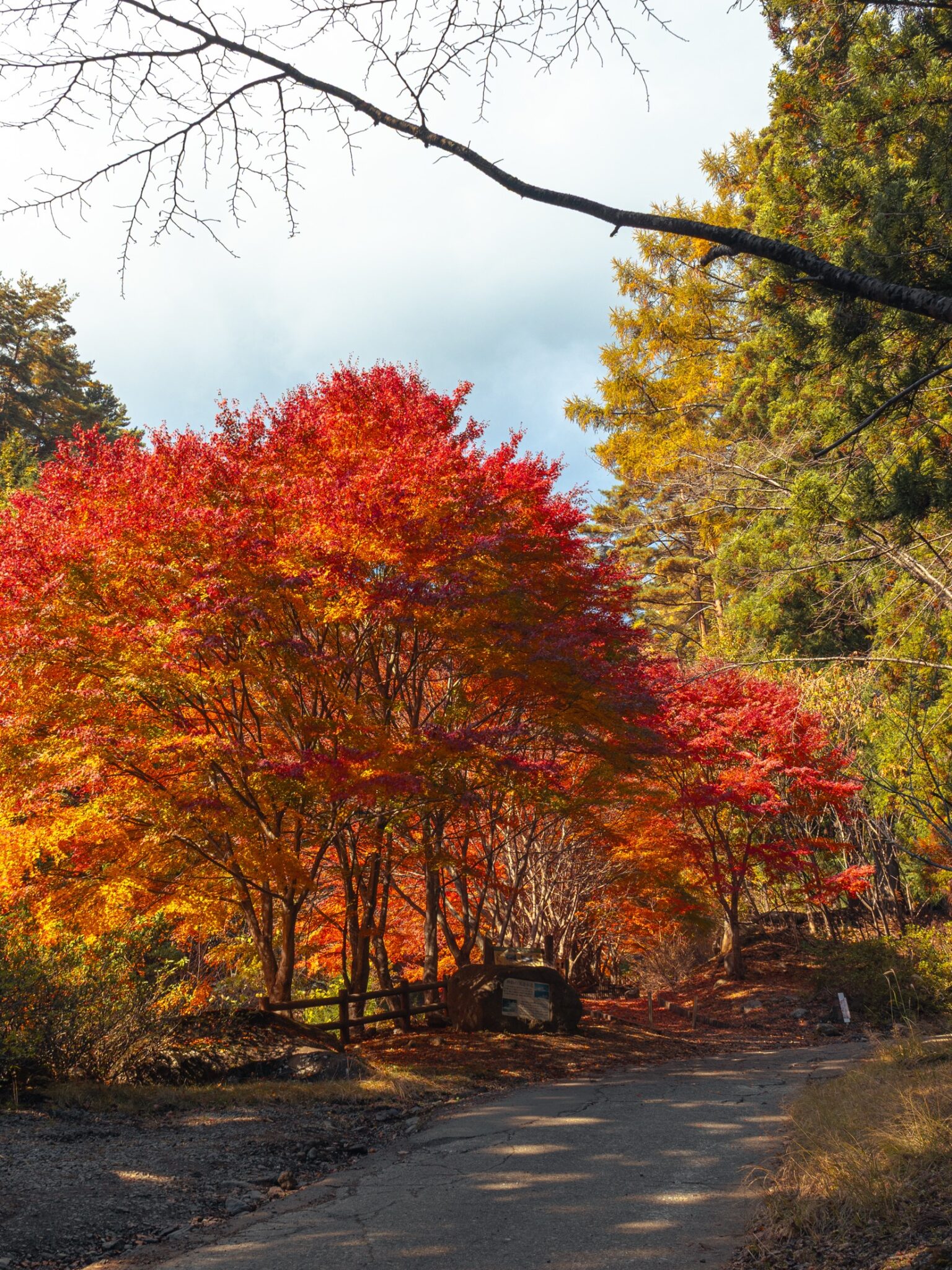
On 16 November 2025 I walked that lower stretch, in Nishikatsura’s Shimogurechi district below Darumaishi, and the maples were at full colour, with larch going gold above them.
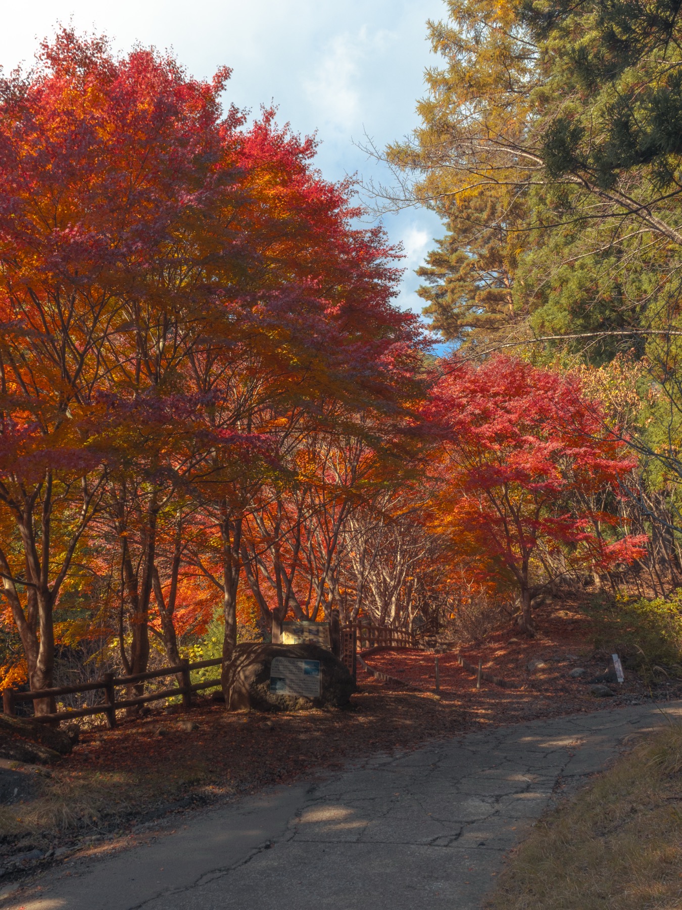
This matters for one reason: you do not need to climb the mountain to get its autumn. The walking path leaves the road into a ravine of maples above the stream, and on my mid-November morning I had the colour largely to myself. If the summit is not in your plans, the lower path still gives you the season — every photograph in this article was taken there.
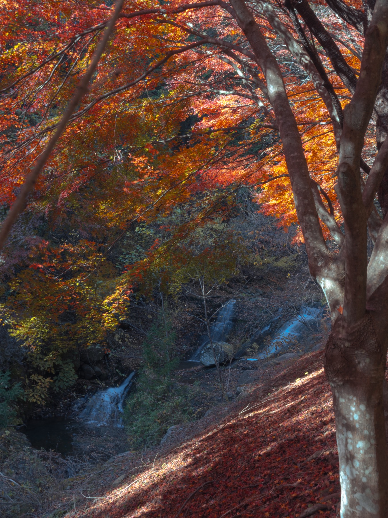
Summit season late October by the town’s guide — and the trailhead maples were still burning on 16 November.
Getting there and getting up
For the Nishikatsura side, Fujikyu Railway’s Mitsutoge Station is the gateway. The town’s route guide leads you up through the Shimogurechi neighbourhood — about 20 minutes to the Green Center, another 50 to Darumaishi — so budget roughly 70 minutes of walk-in before the trail proper.
For the Misaka side, there is a bus from Kawaguchiko Station towards the Mitsutoge-tozanguchi stop — check Fujikyu Bus’s current timetable for your date, and note that Mitsutoge-iriguchi is a different stop — or go by car or taxi for more flexibility.
The climb itself is a proper hike, not a stroll: mountain footwear, water, warm layers — the summit stands roughly 800–950 m above the Fuji Five Lakes — and in November, daylight discipline: sunset comes before 17:00, so start early and plan to finish well before it. In winter the upper trail holds snow and ice.
Base yourself under the mountain
What to pair it with
Same rail line
Chureito Pagoda is a few stops down the Fujikyu line. Pagoda at dawn plus the lower Nishikatsura walk makes one easy carless day; a summit hike needs its own timetable, descent included.
Foliage season
The 2026 lake festivals run 7–29 November at Kawaguchiko and 30 October–15 November at Yamanaka — foliage timing varies year to year.
Not climbing?
Our three quiet autumn stops — golden larch from the Subaru Line and two waterfalls — cover the season without a summit push.
Everything else the mountain’s neighbourhood does — lakes, villages, transport — lives in the Mt. Fuji hub, and if you are timing a wider trip around colour, see how Japan’s autumn actually moves.
Frequently asked questions
Is the Haha-no-Shirataki route to Mount Mitsutoge open?
No — the section from Haha-no-Shirataki up to the forest-road junction has been closed since 29 June 2026, after the 26 June earthquake, and as of September 2026 Yamanashi Prefecture’s notice listed no reopening date. Use the Misaka-side or Nishikatsura (Darumaishi) approaches and check the prefecture’s current notice before your hike.
How hard is the Mount Mitsutoge hike?
The Misaka-side route is the shortest — about 1.5 hours up, mainly on a broad unpaved mountain road. The Nishikatsura route is about 2 hours 35 up from Darumaishi, plus about 70 minutes’ walk from Mitsutoge Station to Darumaishi, with steep sections. The north route is for experienced hikers. All need proper footwear and weather margin; this is a 1,785 m mountain, not a park walk.
When is the best time for autumn colour on Mitsutoge?
Nishikatsura’s foliage guide puts the summit area in late October and the lower forest in early-to-mid November. On 16 November 2025 the maples at the walking-path level were still at full colour. Years vary, so check recent reports.
Can I enjoy the autumn colour without climbing?
Yes. The lower approach around the Shinrei-no-taki walking path offers the autumn scenery without a summit ascent — that is the area shown in every photograph in this article.
How do I reach the trailheads by public transport?
For the Nishikatsura side, take the Fujikyu Railway to Mitsutoge Station and follow the town’s route up through Shimogurechi — about 70 minutes to Darumaishi. For the Misaka side there is a Kawaguchiko Station bus towards Mitsutoge-tozanguchi (check the current timetable), or use a car or taxi.
Can I climb Mount Mitsutoge in winter?
People do, but the upper trail holds snow and ice, and the short days compress the schedule. If you are not equipped for winter hiking, save it for green season or autumn.
Sources
Official sources for route status, times and seasons, checked 20 September 2026
- Yamanashi Prefecture — Mitsutoge trail closure notice (closed section, start 17:00 on 29 June 2026, no reopening date)
- Yamanashi official tourism site — Mount Mitsutoge (three peaks, elevations, shortest ascent, north-route difficulty)
- Nishikatsura Town — Mitsutoge route guide (station walk-in times, Shinrei-no-taki walking path) and the autumn foliage guide (summit late October, lower forest early-to-mid November)
- Fujikyu Railway — Mitsutoge Station; Fujikyu Bus — route timetables (Misaka-side bus)
- All four photographs: taken by the author around the lower Nishikatsura approach on 16 November 2025.
Join travelers discovering Japan's hidden side
Weekly dispatches from off-the-beaten-path Japan — spots and stories you won't find in guidebooks.
No spam. Unsubscribe anytime.
Welcome aboard!
You're in. See you in your inbox soon.