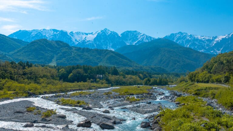
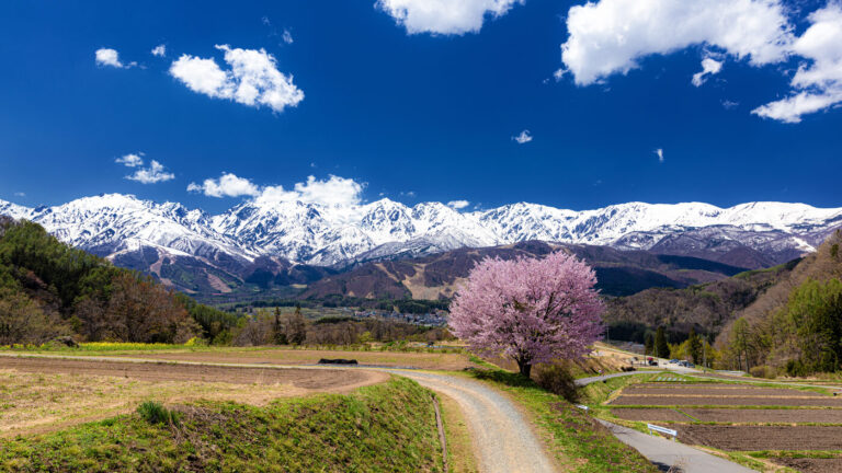
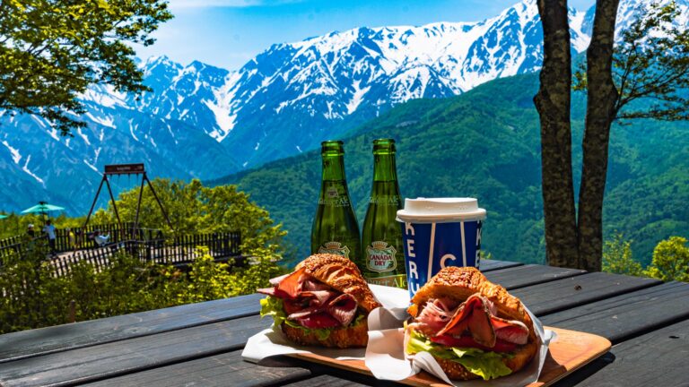
Nagano · Hakuba · Year-Round
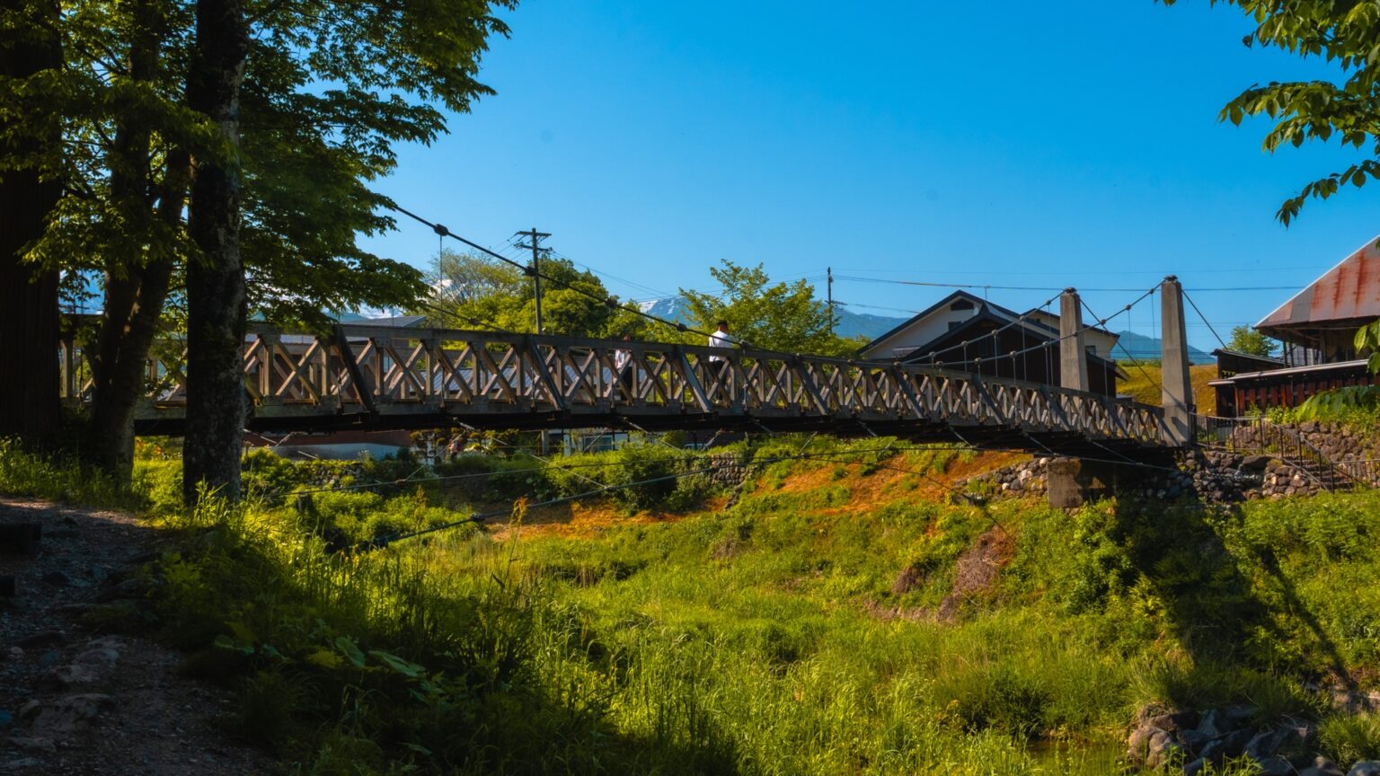
Hakuba Ōide Park is a 16-minute walk from Hakuba Station holding the village’s most-photographed composition: a wooden suspension bridge over the Himekawa river framed by the snow-capped Hakuba Sanzan peaks, with peak photography windows in late April (sakura) and mid-October (autumn foliage). Free entry, 20 parking spaces across three lots, and a fully-restricted access window during the cherry-blossom weekend.
If you have ever searched “Hakuba” on Google Images and seen a wooden suspension bridge with white-railed handrails crossing a milky-blue river, with snow-capped peaks in the distance — that image was taken from Hakuba Ōide Park (大出公園). It is a small park, easy to miss from the road, with a single signature view and roughly five complementary ones. I went in mid-May 2025 expecting the same view a thousand other photographers had already taken, and the experience surprised me twice: the four-layer composition holds up in person better than online, and the park is much quieter than the photographic fame suggests.
30-second summary
What it is: A 4-hectare park on the south bank of the Himekawa in central Hakuba, built around a wooden suspension bridge that frames the Hakuba Sanzan peaks.
The signature shot: Stand on the north bank, frame the bridge + river + snow peaks together. Late April sakura, mid-October maples, or any clear-air day will work.
Logistics: Free. 3 parking lots (3+17+overflow). Cherry weekend = access restricted, use sewage treatment overflow lot (5-min walk).
Quick Facts
Location
Hokujō, Hakuba Village, Nagano. South bank of the Himekawa river, about 1 km west of central Hakuba.
Best Photo Windows 2026
Sakura: Apr 25 – May 5 (peak ~Apr 28). Autumn: Oct 18 – Nov 3 (peak ~Oct 24). Clear-air days: any time from green-up to first snow.
Admission
Free. No gate, no fee, accessible year-round.
Parking
3 lots — P1 (3 cars, closest to bridge), P2 (17 cars), overflow at Hakuba Sewage Treatment Center (5-min walk, used during cherry weekend).
From Hakuba Station
~16 min on foot (1.2 km), ~5 min by car, ~8 min by bike. No public bus stops directly at the park.
Cherry-weekend Restriction
2026 expected: Apr 25–26 + May 2–6. P1+P2 closed to private cars, overflow lot mandatory.
The Four-Layer Composition That Made the Park Famous
The Ōide signature shot is one of the most photographed views in the Northern Alps for a single technical reason: it is a clean four-layer composition that works from a fixed standing position with any lens between 24mm and 85mm. Most “iconic” Japanese viewpoints are 2-layer (subject + sky) or 3-layer at best. Ōide is built — geographically by accident, but maintained by the village by design — to stack four distinct visual layers in the same frame.
Layer 1 — Foreground
Cherry trees / autumn maples
The path approach planted with about 80 mature sakura on the north bank and 40+ maples on the south side. Provides season-specific colour.
Layer 2 — Mid-ground
The suspension bridge + grass meadow
The 35-meter wooden tsuribashi with white-painted railings, plus a thatched-roof structure visible on the south end. This is the human-scale anchor.
Layer 3 — Distance
Himekawa river
Milky-blue glacial water flowing beneath the bridge, widening into a braided gravel bed downstream.
Layer 4 — Background
Hakuba Sanzan peaks
Shirouma (2,932m), Shakushi (2,812m), Yari (2,903m) — all visible from the park in clear conditions, snow line varies by season.
The reason this matters in practice: most travellers shooting Hakuba arrive without a clear photographic plan and spend 20 minutes wandering the park looking for “the shot.” If you know in advance you’re building a four-layer stack, you can stand in the right place within two minutes and start working.
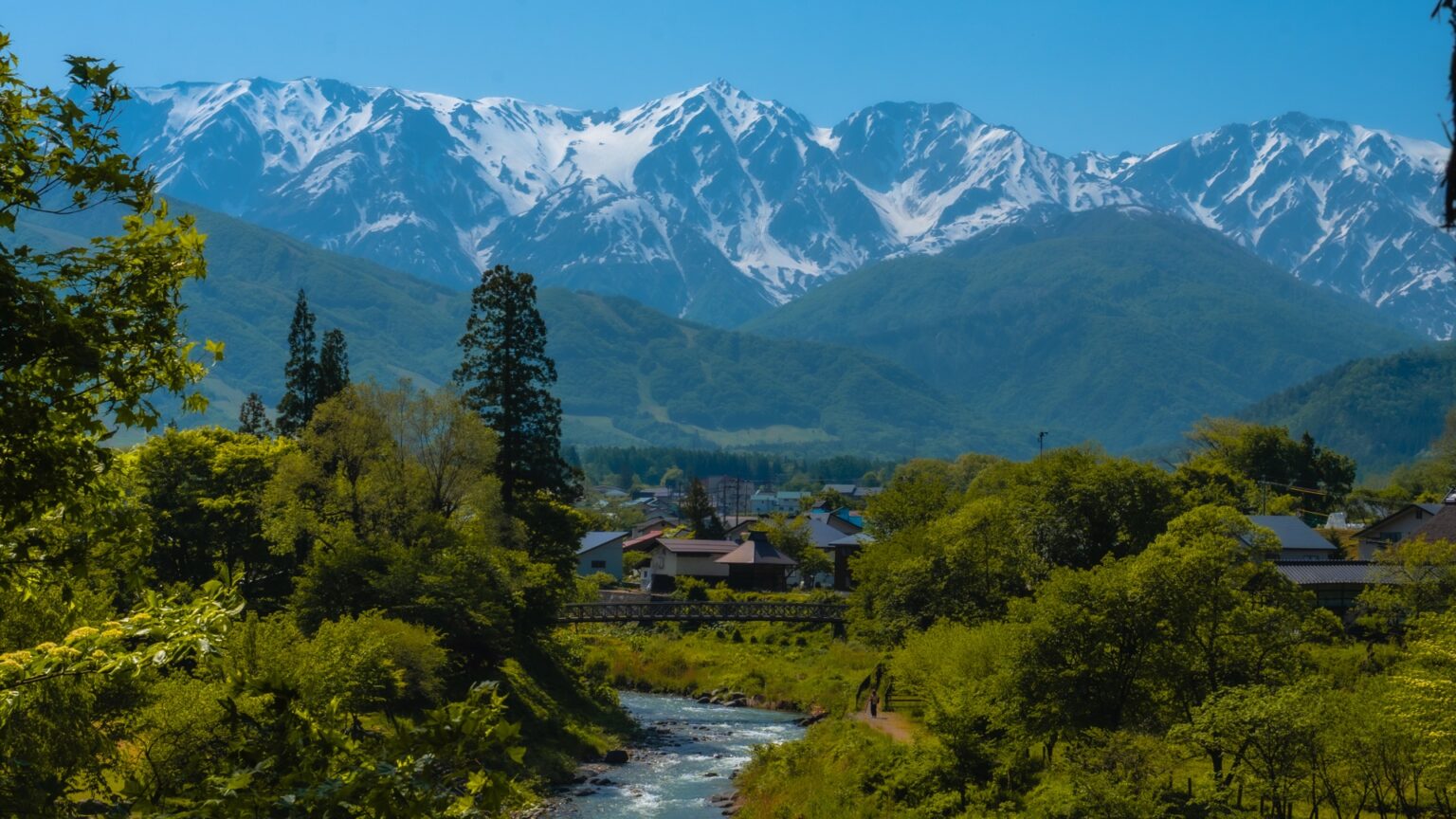
Where to Stand: The Three Signature Compositions
The park is small (about 4 hectares) but holds three distinct camera positions that produce noticeably different photographs.
Position A — North bank, west side (the canonical shot)
From the north bank, west of the bridge entrance, looking south-east. This is the angle in roughly 80% of the Hakuba photos you’ve seen online. Bridge fills the lower mid-frame, peaks visible top centre, river snakes from right to left. Best lens: 35mm or 50mm equivalent.
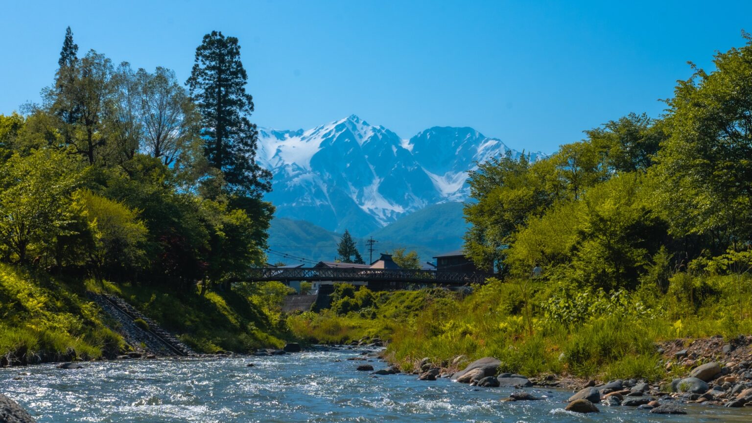
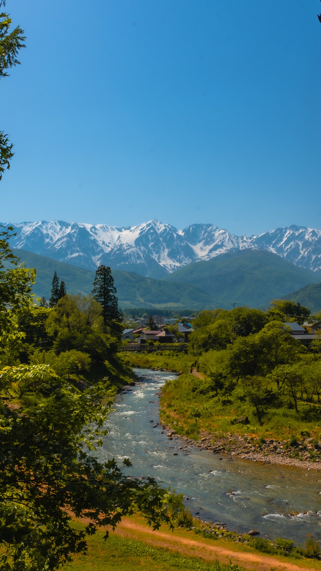
Position B — Down by the river, looking up at the bridge
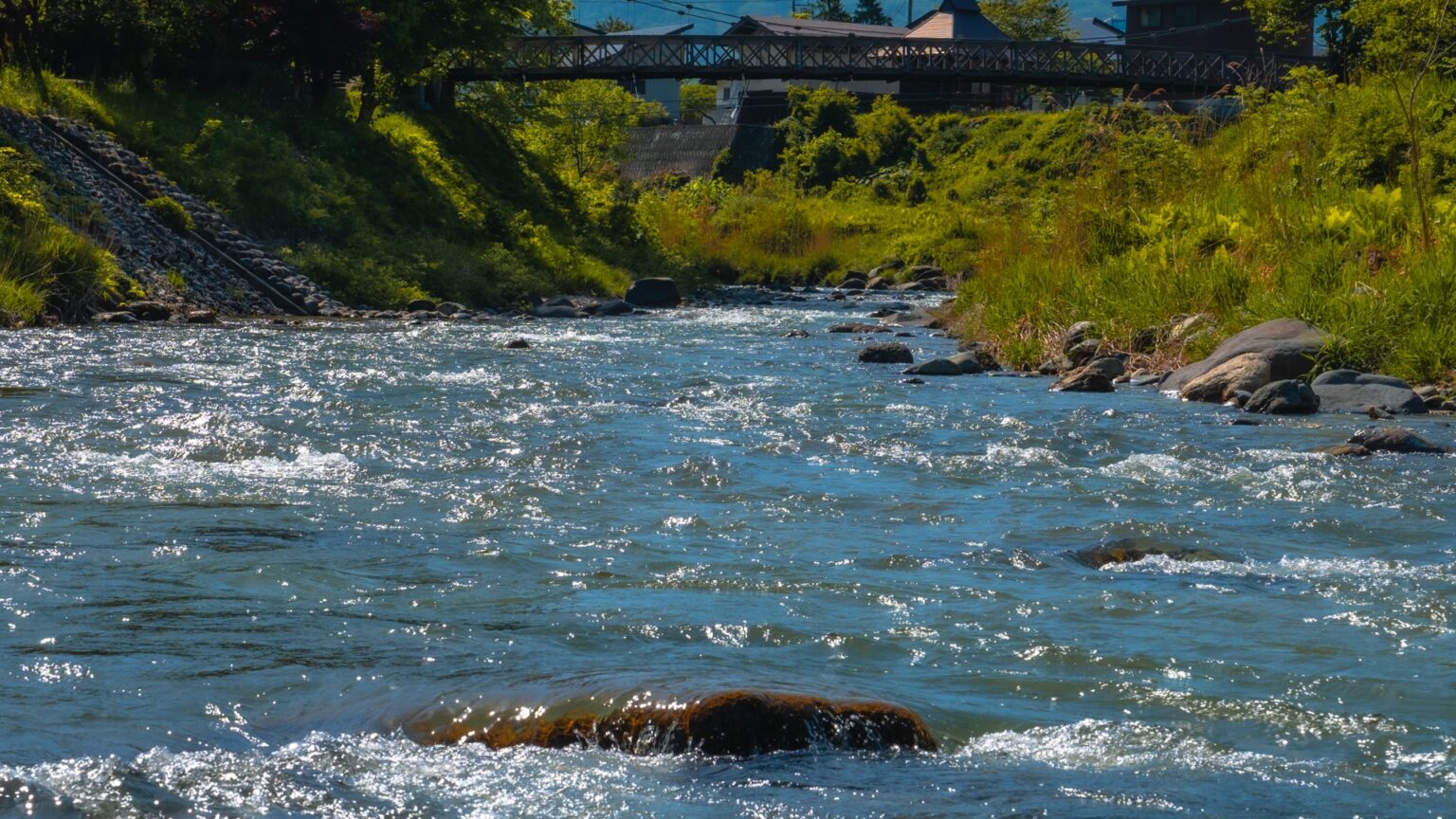
A staircase on the north bank descends to river level. From here you can shoot the bridge from below, with the underside of the wooden planking and the underside of the cables forming a more architectural composition. The mountains are mostly hidden from this angle — so this is “bridge as object” rather than “bridge in landscape.” Best lens: 24mm wide.
Position C — Cross the bridge, look back from the south bank
Most visitors stay on the north side and never cross. Crossing the bridge and turning around gives you a reverse view — bridge in the foreground, north-bank cherry trees in the mid-ground, road and village in the distance. Less famous, less photographed, and on a busy day the only composition without other tourists in frame.
Best Time: Season + Weather Matrix
The park works in every season, but with very different photographs. Pick by what you want to come back with.
| Season | What you see | Crowd level | Notes |
|---|---|---|---|
| Apr 25 – May 5 | Sakura at peak + snow on peaks + early green | Heavy, peaks 7–9 AM | Restricted parking. Use overflow lot. |
| May 6 – early Jun | Fresh green + heavy snow + glacial-melt river at maximum flow | Light | The best shooting window overall (in my experience). |
| Jun – early Jul | Full green + snow retreating + occasional cloud cap | Light | Rainy-season risk; check forecast morning of. |
| Mid Jul – mid Sep | Full summer, Daisekkei snow visible, hot | Moderate | Heat haze on the peaks past 10 AM. Sunrise window if you can manage it. |
| Oct 18 – Nov 3 | Autumn maple + first snow returning on peaks | Moderate | The second peak window. Photographers in their element. |
| Nov – Mar | Snow on everything, bridge accessible if plowed | Light | Winter access usually OK if you have snow tires. |
What the Park Itself Is Like (Beyond the Bridge)
If you arrive thinking “see bridge, photograph bridge, leave,” you’ll be done in 20 minutes. The park rewards a longer stay because it contains four distinct micro-environments that most photo-shooters skip.
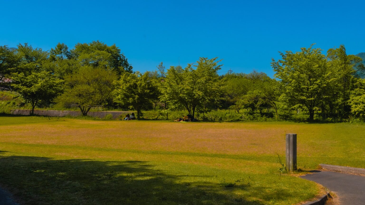
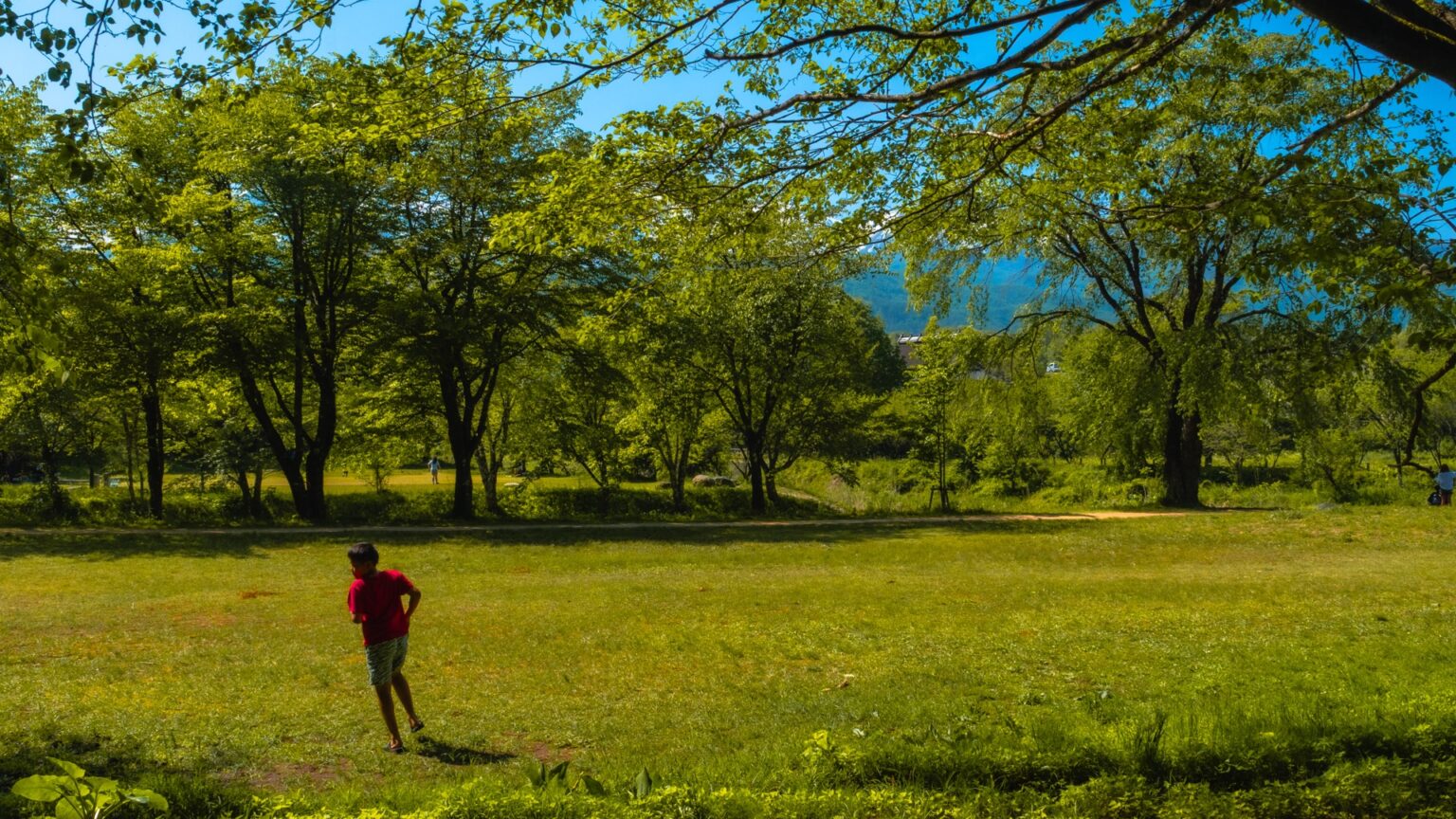
The upper meadow
A broad grass clearing surrounded by sakura at the entrance. In late April this is a picnic ground for villagers; in summer it’s an empty green field that works as a quiet sit-down spot.
The forest descent path
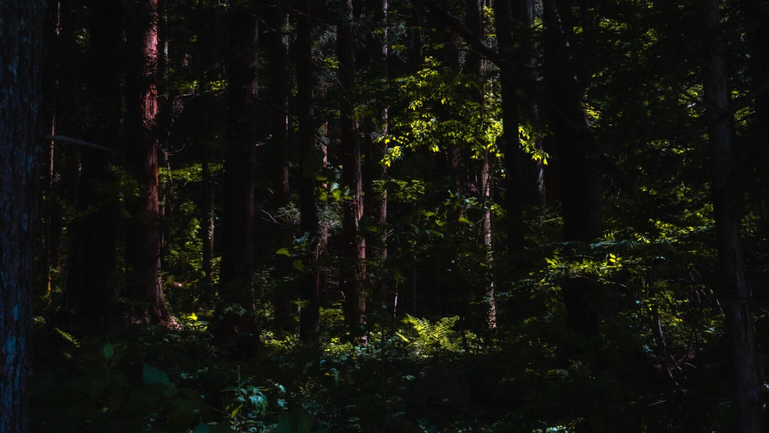
A 5-minute switchback trail through cedar canopy connecting the upper meadow to the river-level platform. Cool in summer, atmospheric in any season. The light through the trees in mid-afternoon is the kind of thing that justifies a slow lens hand-held shot.
The sabō (sediment-control) dam waterfall
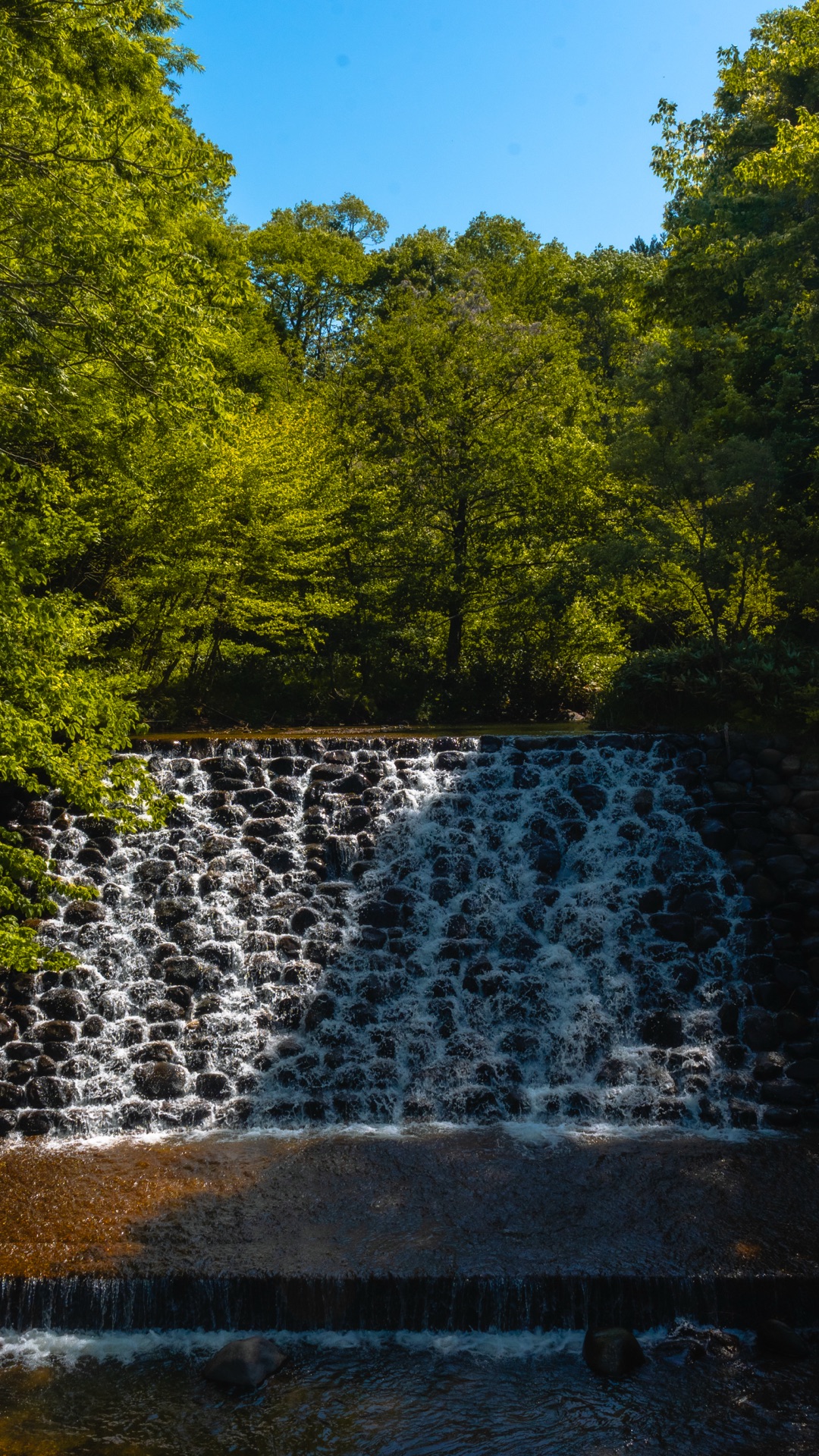
Upstream of the bridge, a small concrete sediment-control structure creates a step-shaped waterfall. Not famous, not signposted prominently, but it’s the most visually interesting piece of engineering in the park after the bridge itself.
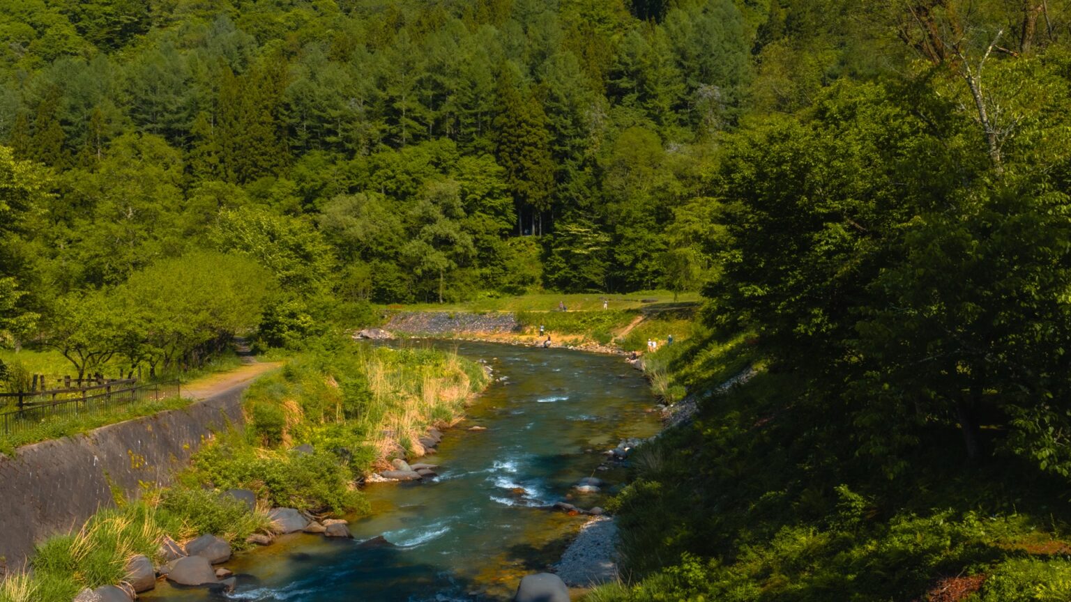
“Four layers, three signature positions, four micro-environments — small park, dense visual budget.”
How to Get There
Hakuba Ōide Park is on the south side of central Hakuba, a 16-minute walk or 5-minute drive from Hakuba Station. The park is easy to miss — there’s no large signpost from the main road, just a narrow turn-off.
| Method | Time | Notes |
|---|---|---|
| On foot from Hakuba Stn | ~16 min (1.2 km) | Cross the Himekawa via the Misorano pedestrian bridge, then follow the south-bank path west. |
| By car from Hakuba Stn | ~5 min | Use P1 (3 cars) or P2 (17 cars). Avoid arriving 9–11 AM during sakura weekend. |
| By bicycle | ~8 min | Bike rental from several shops near Hakuba Stn (¥1,500–2,500/day). Flat ride. |
| Cherry weekend (Apr 25–26, May 2–6) | +5 min walk | P1 + P2 closed. Park at Hakuba Sewage Treatment Center overflow lot, walk in. |
| From Hakuba Ohashi | ~20 min by car (north) | Drive the prefectural road north — the two viewpoints pair naturally in one morning. |
For the broader access picture (Tokyo–Hakuba buses, JR Pass route, Shinano-Omachi alternative), see our Hakuba Station Access Guide 2026.
Pair the Visit With
Same morning: Hakuba Ohashi (20-min drive south)
The other Hakuba signature viewpoint. Ohashi is a 100-meter road bridge over the Matsugawa with the same Hakuba Sanzan in view but from a lower, wider angle. The two together form the full Hakuba photo geography — high-vertical (Ōide) and low-wide (Ohashi). Full Hakuba Ohashi guide.
Same day: Iwatake or Happo summer gondola (15-min drive)
For the “peaks from elevation” complement to Ōide’s “peaks from below,” ride the Iwatake or Happo summer gondola. Iwatake has the wider panoramic terrace, Happo is closer to the actual climbing trails. ¥2,000–2,500 each. Pair with lunch at the summit.
Overnight: Hakuba Happo onsen or Tsugaike Pension
Hakuba’s ryokan are concentrated in Happo and Wadano (central) and Tsugaike (north). Either gives you a morning approach to Ōide in 5–10 minutes by car. The pensions near Tsugaike tend to be smaller and more personal; Happo is the active village with restaurants.
Plan This Trip
Plan This Trip
For Southeast Asian Visitors
Hakuba in late April and early May is perfectly timed for SEA travellers chasing the tail end of cherry blossom season — the lowland sakura in Tokyo and Kyoto finish around April 10–15, and Ōide is one of the few accessible places in Japan where sakura overlaps with snow-covered peaks two weeks later. Temperatures in Hakuba this window: 5–18°C, much cooler than home. Pack a light insulated jacket. The park is paved on the meadow and gravel-firm on the bridge approach; mobility is OK for most. Cash is more necessary in Hakuba than in Tokyo — bring ¥10,000 in small notes per person per day. Halal options are limited; the easiest meal is convenience store onigiri (clearly labelled) or self-catering from the Hakuba Daimaru supermarket near the station. Pocket Wi-Fi or eSIM works at the park (full Docomo 5G).
FAQ
When exactly do the cherry blossoms peak at Ōide Park?
Late April, with the exact peak shifting 3–5 days year-to-year depending on spring temperatures. Recent peaks: 2023 ~Apr 24, 2024 ~Apr 28, 2025 ~Apr 26. For 2026 the safest planning window is Apr 25 – May 1, with active monitoring of the Hakuba Village tourism site (vill.hakuba.nagano.jp) starting from mid-April.
Can I drive to the bridge during cherry weekend?
No. P1 and P2 are closed to private vehicles during the designated cherry weekend (typically the last weekend of April + Golden Week, exact 2026 dates to be confirmed). All visitors must park at the Hakuba Sewage Treatment Center overflow lot and walk 5 minutes along the marked footpath. The restriction is enforced; ignore it and you’ll be turned around at the entrance.
Is the suspension bridge safe to walk across?
Yes. The bridge is fully inspected and maintained by Hakuba Village. It will sway slightly when more than 2–3 people walk on it simultaneously — this is normal and the structure is rated for far more weight than typical foot traffic. Children should hold the handrail; the gap between the wooden planks is small but visible.
What if it’s cloudy and I can’t see the peaks?
The two backup compositions still work: the riverside views and the forest descent path don’t depend on peak visibility. If you have flex in your schedule, check the forecast 24 hours out — Hakuba clear-air days are predictable from the Japan Meteorological Agency mountain forecast. A pre-dawn arrival often catches a clearer window before clouds form.
Are there toilets and food at the park?
One small toilet block at the upper parking area. No food, no vending machines, no shop. Bring water and snacks if you plan to stay more than an hour. The closest convenience store is the Lawson on Hakuba Station road, 5-min drive away.
How does Ōide compare to Hakuba Ohashi?
Different photographs from the same valley. Ōide: vertical, close, framed by a wooden bridge and trees, best for portrait orientation. Ohashi: horizontal, wide, framed by an open road bridge over a wider river, best for landscape orientation. If you have one morning in Hakuba, choose by your camera’s stronger format. If you have a full day, do both.
Is the park wheelchair accessible?
Partially. The upper meadow and the upper observation deck above the bridge are level and accessible. The suspension bridge itself has a slight downhill approach on the north side and is wooden-planked — passable in a manual wheelchair with assistance, more difficult solo. The river-level platform below the bridge requires stairs and is not accessible.
Booking the Trip
Booking the Trip
Three doors into a Hakuba photo morning. The ryokan + car combo is the cleanest setup.
Related Reading
- Hakuba Ohashi 2026: A 100-Meter Bridge with the Free, Year-Round View of the Northern Alps — The other signature Hakuba viewpoint, 20-min drive south. Pair both for a complete photo day.
- Hakuba Station 2026: How to Get There from Tokyo, Osaka & Nagoya — All bus / rail / drive routes into Hakuba.
- Hakuba Village 2026: A Year-Round Guide (Cherry, Alps, Foliage & Powder) — What Hakuba looks like in each season.
Join travelers discovering Japan's hidden side
Weekly dispatches from off-the-beaten-path Japan — spots and stories you won't find in guidebooks.
No spam. Unsubscribe anytime.
Welcome aboard!
You're in. See you in your inbox soon.